Earthquake Tanimbar Islands Region, Indonesia
Sun, 22 Feb 2026 10:04:03 GMT
Time1 hour ago
Location
-7.8867, 130.0229
Depth
78.4 KM
Event Summary
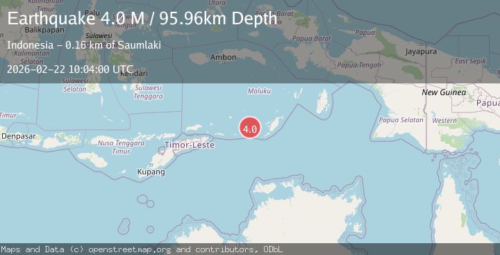
A 3.8 magnitude earthquake struck on Tanimbar Islands Region, Indonesia, at Sun, 22 Feb 2026 10:04:03 GMT. Depth: 78.411652km. Reviewed by BMKG seismologists, this minor quake occurred at a magnitude type of M.
Magnitude
3.8
M
Source
BMKG
Intensity
-
Agency Reports
1 Sources| Source | Magnitude | Depth | Time |
|---|---|---|---|
| BMKGPrimary | 3.8 | 78 km | 1 hour ago |
Earthquake Details
ManualEvent IDbmg2026drue
Tsunami PotentialNo
Magnitude TypeM
Nearest Places
- 13.1 km
- 13.5 km
- 13.6 km
- 14.1 km
- 14.3 km
Comments
Join the discussion about this event.
Latest Earthquakes
1.7Mag
Java, Indonesia
Time1 hour ago
Depth12.57 km
SourceVYT (Automatic)
1.7Mag
Tarapaca, Chile
Time1 hour ago
Depth107.91 km
SourceVYT (Automatic)
2.8Mag
South of Sumbawa, Indonesia
Time1 hour ago
Depth10.00 km
SourceBMKG
5.1Mag
Northern Territory, Australia
Time1 hour ago
Depth466.80 km
SourceVYT (Automatic)
3.8Mag
La Rioja, Argentina
Time1 hour ago
Depth10.00 km
SourceVYT (Automatic)
Nearby Earthquakes
3.5Mag
Tanimbar Islands Region, Indonesia
Time1 week ago
Depth105.26 km
SourceBMKG (Automatic)
3.5Mag
Tanimbar Islands Region, Indonesia
Time1 week ago
Depth84.60 km
SourceBMKG
5.4Mag
KEP. TANIMBAR REGION, INDONESIA
Time9 years ago
Depth10.00 km
SourceEMSC (Automatic)
5.9Mag
Tanimbar Islands Region, Indonesia
Time2 weeks ago
Depth100.00 km
SourceBMKG (Automatic)
5.1Mag
KEP. TANIMBAR REGION, INDONESIA
Time3 years ago
Depth60.00 km
SourceEMSC (Automatic)