Earthquake West Papua Region, Indonesia
Sun, 22 Feb 2026 19:00:07 GMT
Time1 hour ago
Location
-3.5345, 135.6358
Depth
10.0 KM
Event Summary
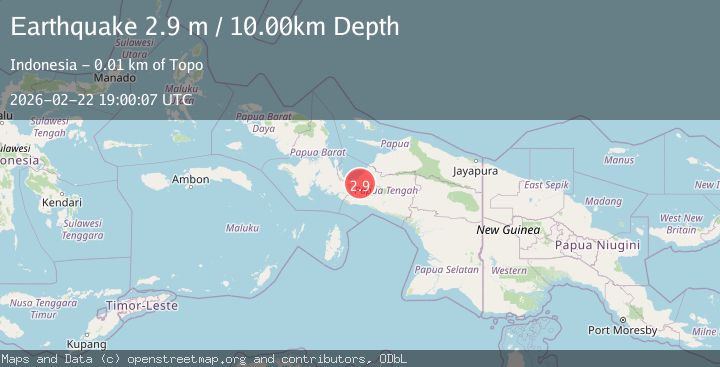
A 2.9 magnitude earthquake struck on West Papua Region, Indonesia, at Sun, 22 Feb 2026 19:00:07 GMT. Depth: 10km. Reviewed by BMKG seismologists, this minor quake occurred at a magnitude type of M.
Magnitude
2.9
M
Source
BMKG
Intensity
-
Agency Reports
1 Sources| Source | Magnitude | Depth | Time |
|---|---|---|---|
| BMKGPrimary | 2.9 | 10 km | 1 hour ago |
Earthquake Details
ManualEvent IDbmg2026dslu
Tsunami PotentialNo
Magnitude TypeM
Nearest Places
- 3.9 km
- 4.8 km
- 5.2 km
- 8.8 km
- 9.0 km
Comments
Join the discussion about this event.
Latest Earthquakes
2.4Mag
Kenai Peninsula, Alaska
Time1 hour ago
Depth31.25 km
SourceVYT (Automatic)
2.1Mag
Central Alaska
Time1 hour ago
Depth22.46 km
SourceVYT (Automatic)
3.0Mag
Potosi, Bolivia
Time1 hour ago
Depth68.60 km
SourceVYT (Automatic)
2.2Mag
Tarapaca, Chile
Time1 hour ago
Depth53.59 km
SourceVYT (Automatic)
1.7Mag
3 km NE of The Geysers, CA
Time1 hour ago
Depth0.72 km
SourceUSGS (Automatic)
Nearby Earthquakes
5.4Mag
PAPUA, INDONESIA
Time12 years ago
Depth10.00 km
SourceEMSC (Automatic)
3.0Mag
PAPUA, INDONESIA
Time1 year ago
Depth18.00 km
SourceBMKG (Automatic)
2.6Mag
PAPUA, INDONESIA
Time3 weeks ago
Depth10.00 km
SourceBMKG (Automatic)
2.3Mag
West Papua Region, Indonesia
Time1 month ago
Depth10.00 km
SourceBMKG (Automatic)
3.4Mag
West Papua Region, Indonesia
Time3 weeks ago
Depth26.26 km
SourceBMKG (Automatic)