Earthquake West Papua Region, Indonesia
Mon, 23 Feb 2026 15:27:09 GMT
Time2 hours ago
Location
-4.6815, 134.1734
Depth
10.0 KM
Event Summary
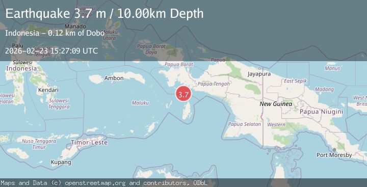
A 3.7 magnitude earthquake struck on West Papua Region, Indonesia, at Mon, 23 Feb 2026 15:27:09 GMT. Depth: 10km. Reviewed by BMKG seismologists, this minor quake occurred at a magnitude type of M.
Magnitude
3.7
M
Source
BMKG
Intensity
-
Agency Reports
1 Sources| Source | Magnitude | Depth | Time |
|---|---|---|---|
| BMKGPrimary | 3.7 | 10 km | 2 hours ago |
Earthquake Details
ManualEvent IDbmg2026duai
Tsunami PotentialNo
Magnitude TypeM
Nearest Places
- 40.3 km
- 71.8 km
- 74.3 km
- 74.6 km
- 75.1 km
Comments
Join the discussion about this event.
Latest Earthquakes
3.0Mag
Fox Islands, Aleutian Islands, Alaska
Time2 hours ago
Depth0.00 km
SourceVYT (Automatic)
0.8Mag
Southern Alaska
Time2 hours ago
Depth47.49 km
SourceVYT (Automatic)
3.1Mag
Kepulauan Sula, Indonesia
Time2 hours ago
Depth0.00 km
SourceVYT (Automatic)
1.3Mag
37 km SW of Los Ybanez, Texas
Time2 hours ago
Depth3.19 km
SourceUSGS (Automatic)
3.6Mag
Fox Islands, Aleutian Islands, Alaska
Time2 hours ago
Depth3.17 km
SourceVYT (Automatic)
Nearby Earthquakes
5.6Mag
NEAR S COAST OF PAPUA, INDONESIA
Time14 years ago
Depth5.00 km
SourceEMSC (Automatic)
6.0Mag
NEAR S COAST OF PAPUA, INDONESIA
Time15 years ago
Depth10.00 km
SourceEMSC (Automatic)
5.2Mag
NEAR S COAST OF PAPUA, INDONESIA
Time16 years ago
Depth30.00 km
SourceEMSC (Automatic)
5.4Mag
NEAR S COAST OF PAPUA, INDONESIA
Time16 years ago
Depth35.00 km
SourceEMSC (Automatic)
5.0Mag
NEAR S COAST OF PAPUA, INDONESIA
Time14 years ago
Depth2.00 km
SourceEMSC (Automatic)