Earthquake NEAR N COAST OF PAPUA, INDONESIA
Thu, 15 Jan 2026 18:22:56 GMT
Time1 month ago
Location
-2.3100, 140.1600
Depth
5.0 KM
Event Summary
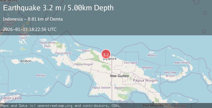
A 3.2 magnitude earthquake struck on NEAR N COAST OF PAPUA, INDONESIA, at Thu, 15 Jan 2026 18:22:56 GMT. Depth: 5km. Reviewed by BMKG seismologists, this minor quake occurred at a magnitude type of m.
Magnitude
3.2
m
Source
BMKG
Intensity
-
Agency Reports
1 Sources| Source | Magnitude | Depth | Time |
|---|---|---|---|
| BMKGPrimary | 3.2 | 5 km | 1 month ago |
Earthquake Details
AutomaticEvent IDemsc_BMKG_20260115_0000286
Tsunami PotentialNo
Magnitude Typem
Nearest Places
- 2.4 km
- 2.8 km
- 3.2 km
- 4.1 km
- 4.5 km
Comments
Join the discussion about this event.
Latest Earthquakes
2.7Mag
Tarapaca, Chile
Time1 minute ago
Depth121.83 km
SourceVYT (Automatic)
3.8Mag
Flores Sea
Time2 minutes ago
Depth10.00 km
SourceVYT (Automatic)
3.0Mag
Java, Indonesia
Time4 minutes ago
Depth64.87 km
SourceBMKG
2.5Mag
Armenia
Time16 minutes ago
Depth13.43 km
SourceVYT (Automatic)
3.7Mag
Antofagasta, Chile
Time17 minutes ago
Depth140.50 km
SourceVYT (Automatic)
Nearby Earthquakes
2.7Mag
Near North Coast of West Papua
Time1 day ago
Depth17.60 km
SourceBMKG
3.0Mag
NEAR N COAST OF PAPUA, INDONESIA
Time2 years ago
Depth14.00 km
SourceBMKG (Automatic)
2.4Mag
Near North Coast of West Papua
Time2 weeks ago
Depth10.00 km
SourceBMKG (Automatic)
2.2Mag
Near North Coast of West Papua
Time3 weeks ago
Depth4.12 km
SourceBMKG (Automatic)
3.2Mag
Near North Coast of West Papua
Time3 weeks ago
Depth10.00 km
SourceBMKG (Automatic)