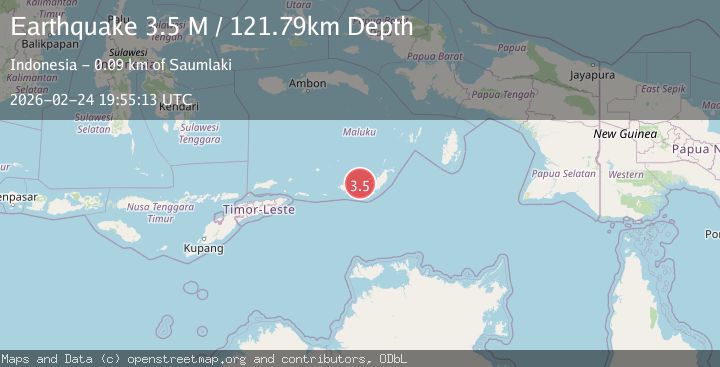
Earthquake Tanimbar Islands Region, Indonesia
Tue, 24 Feb 2026 19:55:13 GMT
Time1 hour ago
Location
-7.7333, 130.5127
Depth
121.8 KM
Event Summary
A 3.5 magnitude earthquake struck on Tanimbar Islands Region, Indonesia, at Tue, 24 Feb 2026 19:55:13 GMT. Depth: 121.78849km. Reviewed by BMKG seismologists, this minor quake occurred at a magnitude type of M.
Magnitude
3.5
M
Source
BMKG
Intensity
-
Agency Reports
1 Sources| Source | Magnitude | Depth | Time |
|---|---|---|---|
| BMKGPrimary | 3.5 | 122 km | 1 hour ago |
Earthquake Details
ManualEvent IDbmg2026dwep
Tsunami PotentialNo
Magnitude TypeM
Nearest Places
- 32.4 km
- 40.6 km
- 44.0 km
- 47.0 km
- 47.9 km
Comments
Join the discussion about this event.
Latest Earthquakes
2.3Mag
Sumba region, Indonesia
Time1 hour ago
Depth0.00 km
SourceVYT (Automatic)
2.2Mag
CENTRAL ITALY
Time1 hour ago
Depth8.90 km
SourceINGV (Automatic)
1.7Mag
71 km E of McCarthy, Alaska
Time1 hour ago
Depth15.40 km
SourceUSGS (Automatic)
2.1Mag
Timor Sea
Time1 hour ago
Depth12.41 km
SourceBMKG
1.5Mag
WESTERN TURKEY
Time1 hour ago
Depth7.00 km
SourceAFAD (Automatic)
Nearby Earthquakes
5.2Mag
KEP. TANIMBAR REGION, INDONESIA
Time14 years ago
Depth30.00 km
SourceEMSC (Automatic)
5.1Mag
KEP. TANIMBAR REGION, INDONESIA
Time18 years ago
Depth64.00 km
SourceEMSC (Automatic)
5.4Mag
KEP. TANIMBAR REGION, INDONESIA
Time16 years ago
Depth60.00 km
SourceEMSC (Automatic)
4.2Mag
Tanimbar Islands Region, Indonesia
Time2 weeks ago
Depth137.60 km
SourceBMKG (Automatic)
4.0Mag
KEP. TANIMBAR REGION, INDONESIA
Time2 years ago
Depth10.00 km
SourceBMKG (Automatic)