Earthquake Near North Coast of West Papua
Tue, 24 Feb 2026 22:29:16 GMT
Time1 hour ago
Location
-2.9422, 140.0998
Depth
19.9 KM
Event Summary
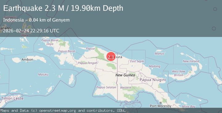
A 2.3 magnitude earthquake struck on Near North Coast of West Papua, at Tue, 24 Feb 2026 22:29:16 GMT. Depth: 19.90377km. Reviewed by BMKG seismologists, this minor quake occurred at a magnitude type of M.
Magnitude
2.3
M
Source
BMKG
Intensity
-
Agency Reports
1 Sources| Source | Magnitude | Depth | Time |
|---|---|---|---|
| BMKGPrimary | 2.3 | 20 km | 1 hour ago |
Earthquake Details
ManualEvent IDbmg2026dwjr
Tsunami PotentialNo
Magnitude TypeM
Nearest Places
- 3.8 km
- 4.9 km
- 6.2 km
- 7.0 km
- 8.1 km
Comments
Join the discussion about this event.
Latest Earthquakes
2.1Mag
Central Alaska
Time1 hour ago
Depth0.61 km
SourceVYT (Automatic)
2.4Mag
Southeastern Alaska
Time1 hour ago
Depth0.00 km
SourceVYT (Automatic)
2.1Mag
Poland
Time1 hour ago
Depth0.00 km
SourceVYT (Automatic)
3.0Mag
West Papua Region, Indonesia
Time1 hour ago
Depth10.00 km
SourceBMKG
3.0Mag
near the coast of Antofagasta, Chile
Time1 hour ago
Depth2.08 km
SourceVYT (Automatic)
Nearby Earthquakes
3.0Mag
NEAR N COAST OF PAPUA, INDONESIA
Time1 month ago
Depth40.00 km
SourceBMKG (Automatic)
3.2Mag
NEAR N COAST OF PAPUA, INDONESIA
Time1 month ago
Depth22.00 km
SourceBMKG (Automatic)
2.4Mag
Near North Coast of West Papua
Time1 month ago
Depth10.00 km
SourceBMKG (Automatic)
2.9Mag
Near North Coast of West Papua
Time3 weeks ago
Depth25.99 km
SourceBMKG (Automatic)
4.0Mag
NEAR N COAST OF PAPUA, INDONESIA
Time2 years ago
Depth34.00 km
SourceBMKG (Automatic)