Earthquake NEAR N COAST OF PAPUA, INDONESIA
Sat, 17 Jan 2026 21:04:59 GMT
Time1 month ago
Location
-2.9000, 140.1300
Depth
40.0 KM
Event Summary
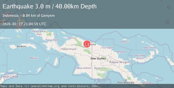
A 3.0 magnitude earthquake struck on NEAR N COAST OF PAPUA, INDONESIA, at Sat, 17 Jan 2026 21:04:59 GMT. Depth: 40km. Reviewed by BMKG seismologists, this minor quake occurred at a magnitude type of m.
Magnitude
3.0
m
Source
BMKG
Intensity
-
Agency Reports
1 Sources| Source | Magnitude | Depth | Time |
|---|---|---|---|
| BMKGPrimary | 3.0 | 40 km | 1 month ago |
Earthquake Details
AutomaticEvent IDemsc_BMKG_20260117_0000250
Tsunami PotentialNo
Magnitude Typem
Nearest Places
- 2.1 km
- 2.5 km
- 3.0 km
- 3.9 km
- 5.0 km
Comments
Join the discussion about this event.
Latest Earthquakes
1.9Mag
Sumbawa region, Indonesia
Time3 minutes ago
Depth21.00 km
SourceVYT (Automatic)
0.7Mag
6 km W of Cobb, CA
Time12 minutes ago
Depth0.41 km
SourceUSGS (Automatic)
2.7Mag
WESTERN AUSTRALIA
Time12 minutes ago
Depth1.00 km
SourceAUST (Automatic)
2.4Mag
Georgia (Sak'art'velo)
Time13 minutes ago
Depth52.61 km
SourceVYT (Automatic)
0.8Mag
Washington
Time15 minutes ago
Depth0.00 km
SourceVYT (Automatic)
Nearby Earthquakes
3.2Mag
NEAR N COAST OF PAPUA, INDONESIA
Time1 month ago
Depth22.00 km
SourceBMKG (Automatic)
2.9Mag
Near North Coast of West Papua
Time3 weeks ago
Depth25.99 km
SourceBMKG (Automatic)
2.4Mag
Near North Coast of West Papua
Time0 months ago
Depth10.00 km
SourceBMKG (Automatic)
2.6Mag
NEAR N COAST OF PAPUA, INDONESIA
Time1 month ago
Depth36.00 km
SourceBMKG (Automatic)
4.0Mag
NEAR N COAST OF PAPUA, INDONESIA
Time2 years ago
Depth34.00 km
SourceBMKG (Automatic)