Earthquake NEAR N COAST OF PAPUA, INDONESIA
Sat, 10 Jan 2026 09:33:01 GMT
Time1 month ago
Location
-2.8900, 140.0700
Depth
22.0 KM
Event Summary
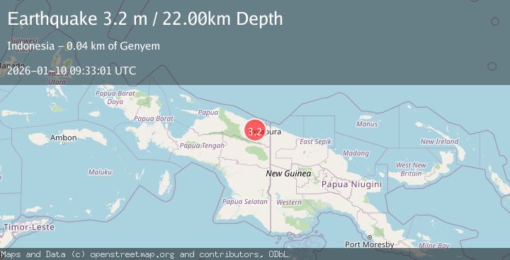
A 3.2 magnitude earthquake struck on NEAR N COAST OF PAPUA, INDONESIA, at Sat, 10 Jan 2026 09:33:01 GMT. Depth: 22km. Reviewed by BMKG seismologists, this minor quake occurred at a magnitude type of m.
Magnitude
3.2
m
Source
BMKG
Intensity
-
Agency Reports
1 Sources| Source | Magnitude | Depth | Time |
|---|---|---|---|
| BMKGPrimary | 3.2 | 22 km | 1 month ago |
Earthquake Details
AutomaticEvent IDemsc_BMKG_20260110_0000114
Tsunami PotentialNo
Magnitude Typem
Nearest Places
- 3.8 km
- 4.6 km
- 5.0 km
- 7.3 km
- 8.3 km
Comments
Join the discussion about this event.
Latest Earthquakes
3.5Mag
Papua, Indonesia
Time18 hours ago
Depth0.00 km
SourceVYT (Automatic)
3.3Mag
Flores region, Indonesia
Time18 hours ago
Depth14.04 km
SourceVYT (Automatic)
4.7Mag
Andreanof Islands, Aleutian Islands, Alaska
Time18 hours ago
Depth52.61 km
SourceVYT (Automatic)
1.6Mag
Sumbawa region, Indonesia
Time18 hours ago
Depth0.00 km
SourceVYT (Automatic)
1.3Mag
Southern California
Time18 hours ago
Depth8.91 km
SourceVYT (Automatic)
Nearby Earthquakes
2.9Mag
Near North Coast of West Papua
Time3 weeks ago
Depth25.99 km
SourceBMKG (Automatic)
3.0Mag
NEAR N COAST OF PAPUA, INDONESIA
Time1 month ago
Depth40.00 km
SourceBMKG (Automatic)
2.4Mag
Near North Coast of West Papua
Time0 months ago
Depth10.00 km
SourceBMKG (Automatic)
2.1Mag
Near North Coast of West Papua
Time2 weeks ago
Depth21.79 km
SourceBMKG (Automatic)
4.0Mag
NEAR N COAST OF PAPUA, INDONESIA
Time2 years ago
Depth34.00 km
SourceBMKG (Automatic)