Earthquake Near North Coast of West Papua
Wed, 25 Feb 2026 04:47:56 GMT
Time1 hour ago
Location
-2.4553, 140.3059
Depth
9.2 KM
Event Summary
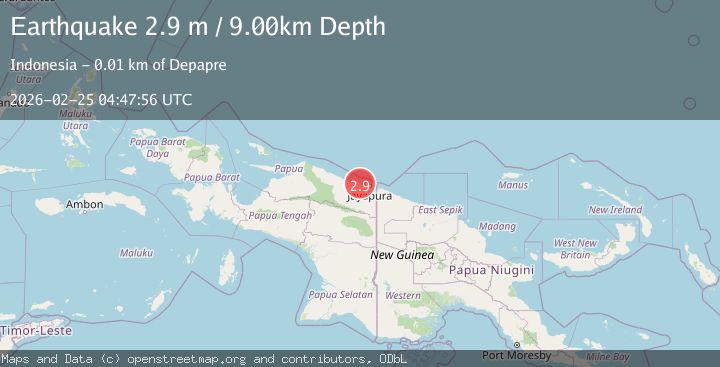
A 2.9 magnitude earthquake struck on Near North Coast of West Papua, at Wed, 25 Feb 2026 04:47:56 GMT. Depth: 9.188982km. Reviewed by BMKG seismologists, this minor quake occurred at a magnitude type of M.
Magnitude
2.9
M
Source
BMKG
Intensity
-
Agency Reports
1 Sources| Source | Magnitude | Depth | Time |
|---|---|---|---|
| BMKGPrimary | 2.9 | 9 km | 1 hour ago |
Earthquake Details
ManualEvent IDbmg2026dwwe
Tsunami PotentialNo
Magnitude TypeM
Nearest Places
- 2.6 km
- 3.3 km
- 4.0 km
- 4.0 km
- 4.1 km
Comments
Join the discussion about this event.
Latest Earthquakes
1.9Mag
Southern Alaska
Time1 hour ago
Depth30.15 km
SourceVYT (Automatic)
2.1Mag
ISLAND OF HAWAII, HAWAII
Time1 hour ago
Depth9.10 km
SourceHV (Automatic)
1.7Mag
4 km WSW of San Juan Bautista, CA
Time1 hour ago
Depth4.65 km
SourceUSGS (Automatic)
3.0Mag
Borneo
Time1 hour ago
Depth5.85 km
SourceBMKG
3.0Mag
Sulawesi, Indonesia
Time1 hour ago
Depth0.00 km
SourceVYT (Automatic)
Nearby Earthquakes
2.7Mag
NEAR N COAST OF PAPUA, INDONESIA
Time1 month ago
Depth27.00 km
SourceBMKG (Automatic)
3.0Mag
NEAR N COAST OF PAPUA, INDONESIA
Time1 month ago
Depth17.00 km
SourceBMKG (Automatic)
2.6Mag
Near North Coast of West Papua
Time2 weeks ago
Depth10.00 km
SourceBMKG (Automatic)
2.1Mag
Near North Coast of West Papua
Time1 month ago
Depth10.56 km
SourceBMKG (Automatic)
2.9Mag
Near North Coast of West Papua
Time2 weeks ago
Depth26.24 km
SourceBMKG (Automatic)