Earthquake Near North Coast of West Papua
Thu, 26 Feb 2026 07:32:44 GMT
Time19 hours ago
Location
-2.3515, 140.1501
Depth
11.7 KM
Event Summary
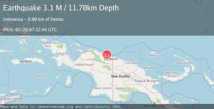
A 3.1 magnitude earthquake struck on Near North Coast of West Papua, at Thu, 26 Feb 2026 07:32:44 GMT. Depth: 11.699675km. Reviewed by BMKG seismologists, this minor quake occurred at a magnitude type of M.
Magnitude
3.1
M
Source
BMKG
Intensity
-
Agency Reports
1 Sources| Source | Magnitude | Depth | Time |
|---|---|---|---|
| BMKGPrimary | 3.1 | 12 km | 19 hours ago |
Earthquake Details
ManualEvent IDbmg2026dyxc
Tsunami PotentialNo
Magnitude TypeM
Nearest Places
- 0.3 km
- 0.8 km
- 0.9 km
- 1.2 km
- 1.5 km
Comments
Join the discussion about this event.
Latest Earthquakes
2.3Mag
OKLAHOMA
Time19 hours ago
Depth4.50 km
SourceOK (Automatic)
0.6Mag
17 km W of Searles Valley, CA
Time19 hours ago
Depth5.16 km
SourceUSGS (Automatic)
2.1Mag
Banda Sea
Time19 hours ago
Depth11.49 km
SourceBMKG
2.4Mag
Alaska Peninsula
Time20 hours ago
Depth3.17 km
SourceVYT (Automatic)
1.7Mag
Southern Alaska
Time20 hours ago
Depth22.58 km
SourceVYT (Automatic)
Nearby Earthquakes
2.4Mag
Near North Coast of West Papua
Time2 weeks ago
Depth10.00 km
SourceBMKG (Automatic)
2.7Mag
Near North Coast of West Papua
Time3 days ago
Depth21.84 km
SourceBMKG
3.0Mag
NEAR N COAST OF PAPUA, INDONESIA
Time2 years ago
Depth14.00 km
SourceBMKG (Automatic)
5.2Mag
NEAR N COAST OF PAPUA, INDONESIA
Time12 years ago
Depth10.00 km
SourceEMSC (Automatic)
5.0Mag
NEAR N COAST OF PAPUA, INDONESIA
Time3 years ago
Depth40.00 km
SourceEMSC (Automatic)