Earthquake West Papua Region, Indonesia
Fri, 27 Feb 2026 12:31:15 GMT
Time9 hours ago
Location
-3.6847, 131.4870
Depth
10.0 KM
Event Summary
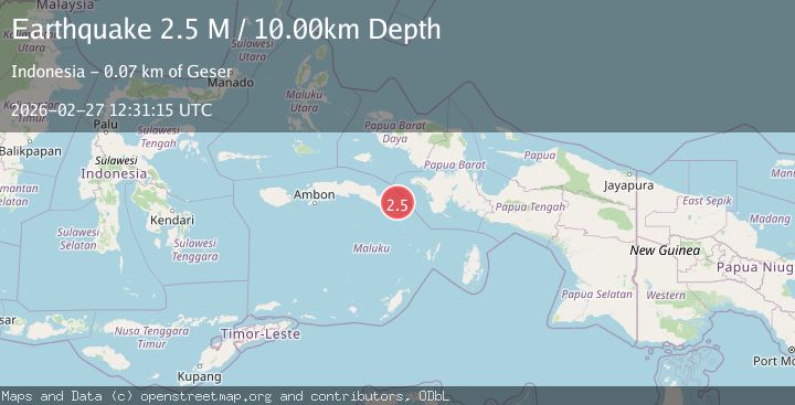
A 2.5 magnitude earthquake struck on West Papua Region, Indonesia, at Fri, 27 Feb 2026 12:31:15 GMT. Depth: 10km. Reviewed by BMKG seismologists, this minor quake occurred at a magnitude type of M.
Magnitude
2.5
M
Source
BMKG
Intensity
-
Agency Reports
1 Sources| Source | Magnitude | Depth | Time |
|---|---|---|---|
| BMKGPrimary | 2.5 | 10 km | 9 hours ago |
Earthquake Details
ManualEvent IDbmg2026ebcl
Tsunami PotentialNo
Magnitude TypeM
Nearest Places
- 30.7 km
- 31.1 km
- 31.1 km
- 31.3 km
- 31.6 km
Comments
Join the discussion about this event.
Latest Earthquakes
2.9Mag
Azerbaijan
Time9 hours ago
Depth0.00 km
SourceVYT (Automatic)
1.2Mag
3 km ESE of Loma Linda, CA
Time9 hours ago
Depth3.39 km
SourceUSGS (Automatic)
1.8Mag
Alaska Peninsula
Time9 hours ago
Depth93.87 km
SourceVYT (Automatic)
2.1Mag
Sumbawa Region, Indonesia
Time9 hours ago
Depth9.70 km
SourceBMKG
1.9Mag
Northern Territory, Australia
Time9 hours ago
Depth289.92 km
SourceVYT (Automatic)
Nearby Earthquakes
5.0Mag
CERAM SEA, INDONESIA
Time9 years ago
Depth30.00 km
SourceEMSC (Automatic)
5.0Mag
CERAM SEA, INDONESIA
Time4 years ago
Depth20.00 km
SourceEMSC (Automatic)
5.0Mag
CERAM SEA, INDONESIA
Time7 years ago
Depth10.00 km
SourceEMSC (Automatic)
4.0Mag
CERAM SEA, INDONESIA
Time2 years ago
Depth32.00 km
SourceDJA (Automatic)
3.9Mag
West Papua Region, Indonesia
Time2 weeks ago
Depth20.40 km
SourceBMKG (Automatic)