Earthquake West Papua, Indonesia
Fri, 27 Feb 2026 18:21:24 GMT
Time1 hour ago
Location
-3.1176, 140.4415
Depth
76.9 KM
Event Summary
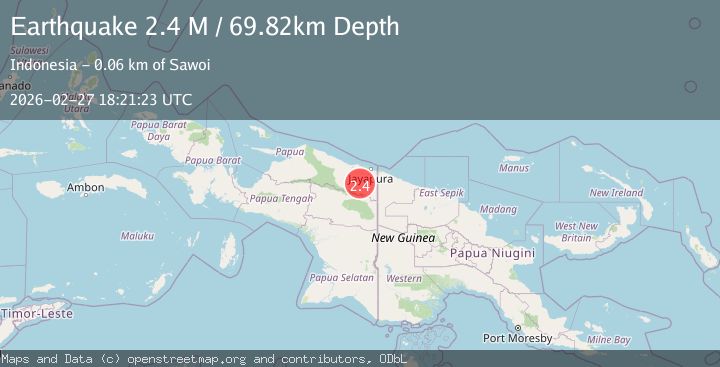
A 2.4 magnitude earthquake struck on West Papua, Indonesia, at Fri, 27 Feb 2026 18:21:24 GMT. Depth: 76.850876km. Reviewed by BMKG seismologists, this minor quake occurred at a magnitude type of M.
Magnitude
2.4
M
Source
BMKG
Intensity
-
Agency Reports
1 Sources| Source | Magnitude | Depth | Time |
|---|---|---|---|
| BMKGPrimary | 2.4 | 77 km | 1 hour ago |
Earthquake Details
ManualEvent IDbmg2026eboa
Tsunami PotentialNo
Magnitude TypeM
Nearest Places
- 11.4 km
- 14.9 km
- 23.4 km
- 25.1 km
- 25.2 km
Comments
Join the discussion about this event.
Latest Earthquakes
1.2Mag
Southern California
Time1 hour ago
Depth18.92 km
SourceVYT (Automatic)
2.8Mag
Antofagasta, Chile
Time1 hour ago
Depth0.00 km
SourceVYT (Automatic)
1.3Mag
19 km NNW of Stanton, Texas
Time1 hour ago
Depth4.46 km
SourceUSGS (Automatic)
0.9Mag
Washington
Time1 hour ago
Depth9.40 km
SourceVYT (Automatic)
1.9Mag
Antofagasta, Chile
Time1 hour ago
Depth85.21 km
SourceVYT (Automatic)
Nearby Earthquakes
2.6Mag
West Papua, Indonesia
Time1 week ago
Depth41.27 km
SourceBMKG
2.6Mag
West Papua, Indonesia
Time1 week ago
Depth10.00 km
SourceBMKG
2.6Mag
PAPUA, INDONESIA
Time1 month ago
Depth26.00 km
SourceBMKG (Automatic)
2.8Mag
Near North Coast of West Papua
Time1 week ago
Depth10.00 km
SourceBMKG
2.5Mag
West Papua, Indonesia
Time2 days ago
Depth58.50 km
SourceBMKG