Earthquake Northern Sumatra, Indonesia
Sat, 28 Feb 2026 12:23:56 GMT
Time1 hour ago
Location
4.0691, 97.3530
Depth
3.5 KM
Event Summary
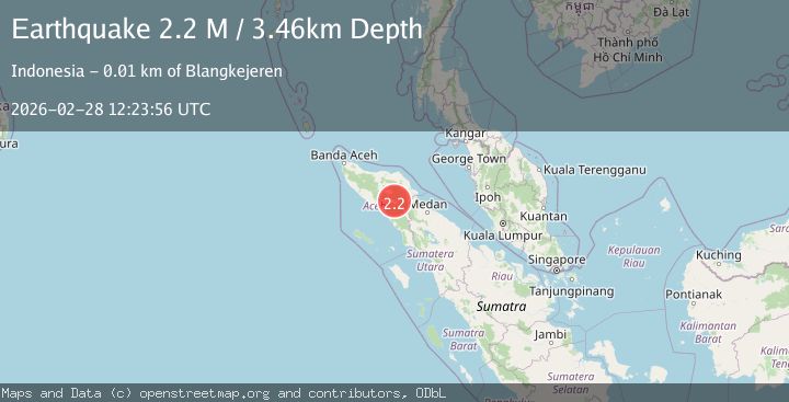
A 2.2 magnitude earthquake struck on Northern Sumatra, Indonesia, at Sat, 28 Feb 2026 12:23:56 GMT. Depth: 3.45616km. Reviewed by BMKG seismologists, this minor quake occurred at a magnitude type of M.
Magnitude
2.2
M
Source
BMKG
Intensity
-
Agency Reports
1 Sources| Source | Magnitude | Depth | Time |
|---|---|---|---|
| BMKGPrimary | 2.2 | 3 km | 1 hour ago |
Earthquake Details
ManualEvent IDbmg2026ecxs
Tsunami PotentialNo
Magnitude TypeM
Nearest Places
- 0.5 km
- 1.5 km
- 2.6 km
- 2.7 km
- 2.8 km
Comments
Join the discussion about this event.
Latest Earthquakes
2.6Mag
Potosi, Bolivia
Time1 hour ago
Depth145.26 km
SourceVYT (Automatic)
1.5Mag
Washington
Time1 hour ago
Depth10.00 km
SourceVYT (Automatic)
1.0Mag
16 km N of Fillmore, CA
Time1 hour ago
Depth12.63 km
SourceUSGS (Automatic)
2.0Mag
25 km NNW of Mina, Nevada
Time1 hour ago
Depth3.47 km
SourceUSGS (Automatic)
2.7Mag
offshore Valparaiso, Chile
Time1 hour ago
Depth0.00 km
SourceVYT (Automatic)
Nearby Earthquakes
3.0Mag
NORTHERN SUMATRA, INDONESIA
Time5 months ago
Depth10.00 km
SourceBMKG (Automatic)
2.5Mag
Northern Sumatra, Indonesia
Time2 weeks ago
Depth5.00 km
SourceBMKG (Automatic)
3.4Mag
NORTHERN SUMATRA, INDONESIA
Time1 month ago
Depth5.00 km
SourceBMKG (Automatic)
2.5Mag
Northern Sumatra, Indonesia
Time6 days ago
Depth3.03 km
SourceBMKG
2.7Mag
NORTHERN SUMATRA, INDONESIA
Time1 month ago
Depth10.00 km
SourceBMKG (Automatic)