Earthquake NORTHERN SUMATRA, INDONESIA
Fri, 02 Jan 2026 05:40:34 GMT
Time1 month ago
Location
4.1000, 97.3900
Depth
5.0 KM
Event Summary
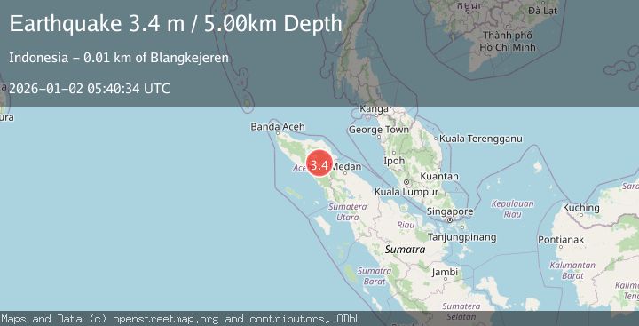
A 3.4 magnitude earthquake struck on NORTHERN SUMATRA, INDONESIA, at Fri, 02 Jan 2026 05:40:34 GMT. Depth: 5km. Reviewed by BMKG seismologists, this minor quake occurred at a magnitude type of m.
Magnitude
3.4
m
Source
BMKG
Intensity
-
Agency Reports
1 Sources| Source | Magnitude | Depth | Time |
|---|---|---|---|
| BMKGPrimary | 3.4 | 5 km | 1 month ago |
Earthquake Details
AutomaticEvent IDemsc_BMKG_20260102_0000071
Tsunami PotentialNo
Magnitude Typem
Nearest Places
- Burni Gajah1.4 km
- Burni Kacang Minyak2.6 km
- Wai Tebing3.0 km
- Burni Kendawi3.9 km
- Burni Gentingines4.4 km
Comments
Join the discussion about this event.
Latest Earthquakes
2.2Mag
Valparaiso, Chile
Time2 minutes ago
Depth22.83 km
SourceVYT (Automatic)
4.5Mag
Central Alaska
Time3 minutes ago
Depth7.81 km
SourceVYT (Automatic)
1.9Mag
1 km SSW of Pāhala, Hawaii
Time7 minutes ago
Depth28.47 km
SourceUSGS (Automatic)
1.5Mag
5 km NW of The Geysers, CA
Time8 minutes ago
Depth2.47 km
SourceUSGS (Automatic)
0.3Mag
10 km WNW of The Geysers, CA
Time10 minutes ago
Depth2.50 km
SourceUSGS (Automatic)
Nearby Earthquakes
2.7Mag
NORTHERN SUMATRA, INDONESIA
Time1 month ago
Depth10.00 km
SourceBMKG (Automatic)
2.5Mag
NORTHERN SUMATRA, INDONESIA
Time1 month ago
Depth3.00 km
SourceBMKG (Automatic)
5.0Mag
NORTHERN SUMATRA, INDONESIA
Time19 years ago
Depth100.00 km
SourceEMSC (Automatic)
2.5Mag
Northern Sumatra, Indonesia
Time1 week ago
Depth5.00 km
SourceBMKG (Automatic)
2.1Mag
Northern Sumatra, Indonesia
Time1 week ago
Depth3.00 km
SourceBMKG (Automatic)