Earthquake 16 km N of Fillmore, CA
Sat, 28 Feb 2026 12:21:57 GMT
Time1 hour ago
Location
34.5392, -118.9278
Depth
12.6 KM
Event Summary
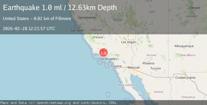
A 1.0 magnitude earthquake struck on 16 km N of Fillmore, CA, at Sat, 28 Feb 2026 12:21:57 GMT. Depth: 12.6300001144409km. Reviewed by USGS seismologists, this minor quake occurred at a magnitude type of ml.
Magnitude
1.0
ml
Source
USGS
Intensity
-
Agency Reports
1 Sources| Source | Magnitude | Depth | Time |
|---|---|---|---|
| USGSPrimary | 1.0 | 13 km | 1 hour ago |
Earthquake Details
AutomaticEvent IDusgs_ci41406312
Tsunami PotentialNo
Magnitude Typeml
Nearest Places
- 0.6 km
- 1.3 km
- 2.2 km
- 2.4 km
- 2.5 km
Comments
Join the discussion about this event.
Latest Earthquakes
1.5Mag
Southern Alaska
Time1 hour ago
Depth0.00 km
SourceVYT (Automatic)
3.5Mag
near the north coast of Papua, Indonesia
Time1 hour ago
Depth10.00 km
SourceVYT (Automatic)
2.1Mag
Alaska Peninsula
Time1 hour ago
Depth71.66 km
SourceVYT (Automatic)
2.2Mag
Central Alaska
Time1 hour ago
Depth4.52 km
SourceVYT (Automatic)
1.8Mag
northwestern Russia
Time1 hour ago
Depth1.95 km
SourceVYT (Automatic)
Nearby Earthquakes
2.2Mag
SOUTHERN CALIFORNIA
Time1 month ago
Depth-0.80 km
SourceSCSN (Automatic)
3.0Mag
SOUTHERN CALIFORNIA
Time1 year ago
Depth15.30 km
SourceSCSN (Automatic)
1.7Mag
9 km N of Fillmore, CA
Time0 months ago
Depth4.82 km
SourceUSGS (Automatic)
3.0Mag
SOUTHERN CALIFORNIA
Time2 months ago
Depth12.00 km
SourceNEIC (Automatic)
1.6Mag
14 km NW of Fillmore, CA
Time2 weeks ago
Depth6.42 km
SourceUSGS (Automatic)