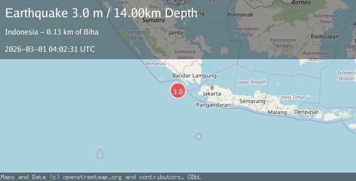
Earthquake Southwest of Sumatra, Indonesia
Sun, 01 Mar 2026 04:02:31 GMT
Time2 hours ago
Location
-6.4109, 103.8212
Depth
5.3 KM
Event Summary
A 2.8 magnitude earthquake struck on Southwest of Sumatra, Indonesia, at Sun, 01 Mar 2026 04:02:31 GMT. Depth: 5.322505km. Reviewed by BMKG seismologists, this minor quake occurred at a magnitude type of M.
Magnitude
2.8
M
Source
BMKG
Intensity
-
Agency Reports
1 Sources| Source | Magnitude | Depth | Time |
|---|---|---|---|
| BMKGPrimary | 2.8 | 5 km | 2 hours ago |
Earthquake Details
ManualEvent IDbmg2026eecr
Tsunami PotentialNo
Magnitude TypeM
Nearest Places
- 46.4 km
- 75.0 km
- 89.7 km
- 98.2 km
- 98.3 km
Comments
Join the discussion about this event.
Latest Earthquakes
2.0Mag
near the coast of Antofagasta, Chile
Time2 hours ago
Depth0.00 km
SourceVYT (Automatic)
1.3Mag
108 km E of Cordova, Alaska
Time2 hours ago
Depth4.20 km
SourceUSGS (Automatic)
9.8Mag
south of Bali, Indonesia
Time2 hours ago
Depth66.16 km
SourceVYT (Automatic)
4.8Mag
South of Bali, Indonesia
Time2 hours ago
Depth54.92 km
SourceBMKG
1.2Mag
Central Alaska
Time2 hours ago
Depth0.00 km
SourceVYT
Nearby Earthquakes
3.1Mag
SOUTHWEST OF SUMATRA, INDONESIA
Time2 months ago
Depth11.00 km
SourceBMKG (Automatic)
3.0Mag
SOUTHWEST OF SUMATRA, INDONESIA
Time2 months ago
Depth4.00 km
SourceBMKG (Automatic)
2.8Mag
Southwest of Sumatra, Indonesia
Time3 weeks ago
Depth10.00 km
SourceBMKG (Automatic)
3.0Mag
SOUTHWEST OF SUMATRA, INDONESIA
Time8 months ago
Depth10.00 km
SourceBMKG (Automatic)
5.1Mag
SOUTHWEST OF SUMATRA, INDONESIA
Time7 years ago
Depth30.00 km
SourceEMSC (Automatic)