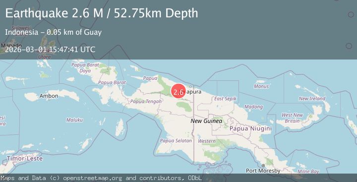
Earthquake Near North Coast of West Papua
Sun, 01 Mar 2026 15:47:41 GMT
Time4 hours ago
Location
-2.9139, 139.6591
Depth
52.7 KM
Event Summary
A 2.6 magnitude earthquake struck on Near North Coast of West Papua, at Sun, 01 Mar 2026 15:47:41 GMT. Depth: 52.749722km. Reviewed by BMKG seismologists, this minor quake occurred at a magnitude type of M.
Magnitude
2.6
M
Source
BMKG
Intensity
-
Agency Reports
1 Sources| Source | Magnitude | Depth | Time |
|---|---|---|---|
| BMKGPrimary | 2.6 | 53 km | 4 hours ago |
Earthquake Details
ManualEvent IDbmg2026eezy
Tsunami PotentialNo
Magnitude TypeM
Nearest Places
- 5.7 km
- 15.0 km
- 17.9 km
- 19.4 km
- 19.9 km
Comments
Join the discussion about this event.
Latest Earthquakes
2.8Mag
offshore Valparaiso, Chile
Time4 hours ago
Depth13.06 km
SourceVYT (Automatic)
1.2Mag
10 km E of Poway, CA
Time4 hours ago
Depth7.20 km
SourceUSGS (Automatic)
2.0Mag
Near North Coast of West Papua
Time5 hours ago
Depth13.97 km
SourceBMKG
2.4Mag
Flores Region, Indonesia
Time5 hours ago
Depth105.35 km
SourceBMKG
0.4Mag
12 km SSE of Anza, CA
Time5 hours ago
Depth4.30 km
SourceUSGS (Automatic)
Nearby Earthquakes
2.6Mag
NEAR N COAST OF PAPUA, INDONESIA
Time1 month ago
Depth6.00 km
SourceBMKG (Automatic)
5.9Mag
NEAR N COAST OF PAPUA, INDONESIA
Time16 years ago
Depth96.00 km
SourceEMSC (Automatic)
3.5Mag
Near North Coast of West Papua
Time1 month ago
Depth9.75 km
SourceBMKG (Automatic)
5.1Mag
NEAR N COAST OF PAPUA, INDONESIA
Time4 years ago
Depth110.00 km
SourceEMSC (Automatic)
4.5Mag
NEAR N COAST OF PAPUA, INDONESIA
Time1 month ago
Depth50.00 km
SourceEMSC (Automatic)