Earthquake HAWAII REGION, HAWAII
Sat, 03 Jan 2026 19:49:41 GMT
Time4 days ago
Location
19.9423, -156.2620
Depth
9.1 KM
Event Summary
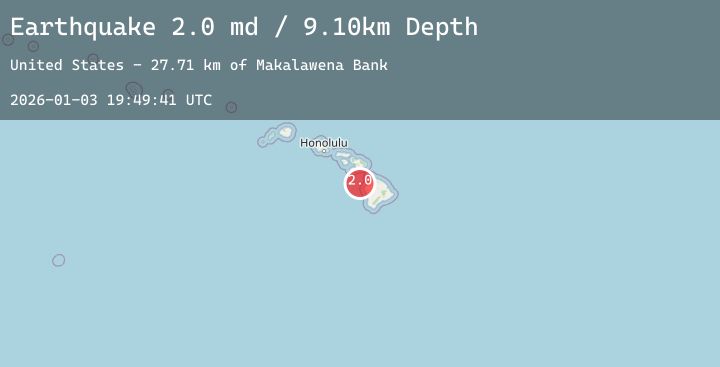
A 2.0 magnitude earthquake struck on HAWAII REGION, HAWAII, at Sat, 03 Jan 2026 19:49:41 GMT. Depth: 9.1km. Reviewed by HV seismologists, this minor quake occurred at a magnitude type of md.
Magnitude
2.0
md
Source
HV
Intensity
-
Agency Reports
1 Sources| Source | Magnitude | Depth | Time |
|---|---|---|---|
| HVPrimary | 2.0 | 9 km | 4 days ago |
Earthquake Details
AutomaticEvent IDemsc_20260103_0000264
Tsunami PotentialNo
Magnitude Typemd
Nearest Places
- Makalawena Bank27.7 km
- Kawili Point29.1 km
- Ka‘elehuluhulu29.1 km
- Makolea Point29.2 km
- Mahaiula Bay29.3 km
Comments
Join the discussion about this event.
Latest Earthquakes
1.4Mag
8 km ESE of Valle Vista, CA
Time4 days ago
Depth16.59 km
SourceUSGS (Automatic)
2.3Mag
Minahassa Peninsula, Sulawesi
Time4 days ago
Depth182.59 km
SourceBMKG (Automatic)
1.9Mag
51 km W of Karluk, Alaska
Time4 days ago
Depth81.80 km
SourceUSGS (Automatic)
1.9Mag
14 km W of Arbuckle, CA
Time4 days ago
Depth5.00 km
SourceUSGS (Automatic)
2.7Mag
Sulawesi, Indonesia
Time4 days ago
Depth10.00 km
SourceBMKG (Automatic)
Nearby Earthquakes
No significant earthquakes nearby recently.