Earthquake 14 km W of Arbuckle, CA
Sat, 03 Jan 2026 19:22:01 GMT
Time3 days ago
Location
38.9950, -122.2215
Depth
5.0 KM
Event Summary
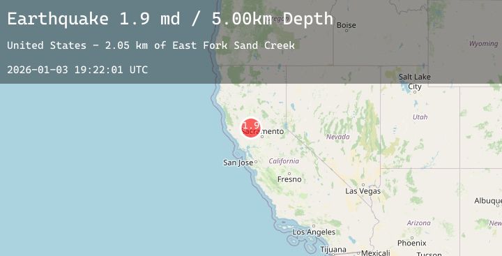
A 1.9 magnitude earthquake struck on 14 km W of Arbuckle, CA, at Sat, 03 Jan 2026 19:22:01 GMT. Depth: 5km. Reviewed by USGS seismologists, this minor quake occurred at a magnitude type of md.
Magnitude
1.9
md
Source
USGS
Intensity
-
Agency Reports
1 Sources| Source | Magnitude | Depth | Time |
|---|---|---|---|
| USGSPrimary | 1.9 | 5 km | 3 days ago |
Earthquake Details
AutomaticEvent IDusgs_nc75290456
Tsunami PotentialNo
Magnitude Typemd
Nearest Places
- East Fork Sand Creek2.0 km
- Manzanita Creek3.3 km
- Rich Creek4.7 km
- Schoolhouse Divide5.1 km
- Glascock Canyon5.6 km
Comments
Join the discussion about this event.
Latest Earthquakes
2.9Mag
Northern Sumatra, Indonesia
Time3 days ago
Depth4.43 km
SourceBMKG (Automatic)
2.3Mag
Northern Sumatra, Indonesia
Time3 days ago
Depth3.23 km
SourceBMKG (Automatic)
5.3Mag
Talaud Islands, Indonesia
Time3 days ago
Depth103.27 km
SourceBMKG (Automatic)
2.0Mag
NEW MEXICO
Time3 days ago
Depth7.40 km
SourceTX (Automatic)
1.5Mag
56 km SSW of Goldfield, Nevada
Time3 days ago
Depth5.49 km
SourceUSGS (Automatic)
Nearby Earthquakes
1.3Mag
4 km W of Cobb, CA
Time3 days ago
Depth8.62 km
SourceUSGS (Automatic)
1.1Mag
4 km NNW of The Geysers, CA
Time3 days ago
Depth0.97 km
SourceUSGS (Automatic)
2.1Mag
8 km W of Cobb, CA
Time4 days ago
Depth2.11 km
SourceUSGS (Automatic)
1.1Mag
5 km NW of The Geysers, CA
Time4 days ago
Depth2.76 km
SourceUSGS (Automatic)