Earthquake 51 km W of Karluk, Alaska
Sat, 03 Jan 2026 19:38:51 GMT
Time3 days ago
Location
57.6480, -155.3100
Depth
81.8 KM
Event Summary
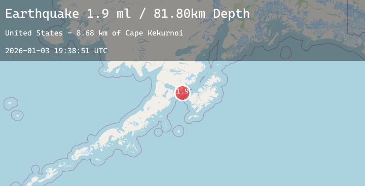
A 1.9 magnitude earthquake struck on 51 km W of Karluk, Alaska, at Sat, 03 Jan 2026 19:38:51 GMT. Depth: 81.8km. Reviewed by USGS seismologists, this minor quake occurred at a magnitude type of ml.
Magnitude
1.9
ml
Source
USGS
Intensity
-
Agency Reports
1 Sources| Source | Magnitude | Depth | Time |
|---|---|---|---|
| USGSPrimary | 1.9 | 82 km | 3 days ago |
Earthquake Details
AutomaticEvent IDusgs_ak2026afenis
Tsunami PotentialNo
Magnitude Typeml
Nearest Places
- Cape Kekurnoi8.7 km
- Moose Creek14.3 km
- Little Alinchak Bay14.6 km
- Helen Creek15.8 km
- Puale Bay16.0 km
Comments
Join the discussion about this event.
Latest Earthquakes
2.9Mag
Ceram Sea
Time3 days ago
Depth10.00 km
SourceBMKG (Automatic)
1.6Mag
EASTERN TURKEY
Time3 days ago
Depth13.70 km
SourceAFAD (Automatic)
1.9Mag
20 km SW of Hope, Alaska
Time3 days ago
Depth33.80 km
SourceUSGS (Automatic)
1.4Mag
2 km W of Universal City, CA
Time3 days ago
Depth17.47 km
SourceUSGS (Automatic)
2.1Mag
CENTRAL ITALY
Time3 days ago
Depth7.80 km
SourceINGV (Automatic)
Nearby Earthquakes
2.4Mag
41 km WSW of Karluk, Alaska
Time3 days ago
Depth74.90 km
SourceUSGS (Automatic)
2.0Mag
66 km ESE of Egegik, Alaska
Time3 days ago
Depth126.50 km
SourceUSGS (Automatic)
2.0Mag
72 km W of Karluk, Alaska
Time3 days ago
Depth72.90 km
SourceUSGS (Automatic)
0.5Mag
84 km NNW of Karluk, Alaska
Time4 days ago
Depth2.80 km
SourceUSGS (Automatic)
1.8Mag
22 km NNE of Karluk, Alaska
Time4 days ago
Depth66.20 km
SourceUSGS (Automatic)