Earthquake SOUTHERN YUKON TERRITORY, CANADA
Tue, 06 Jan 2026 01:00:37 GMT
Time3 days ago
Location
60.5457, -139.7927
Depth
5.0 KM
Event Summary
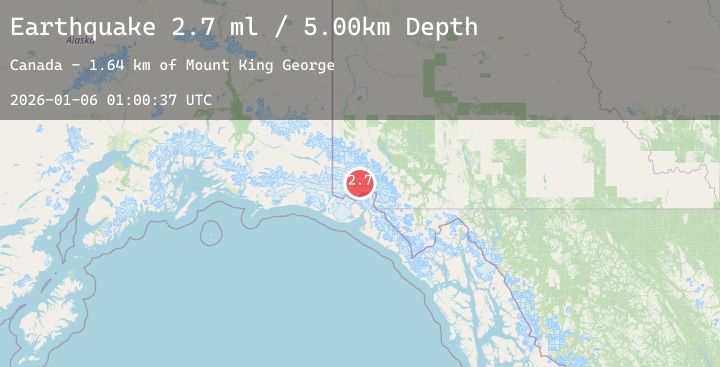
A 2.7 magnitude earthquake struck on SOUTHERN YUKON TERRITORY, CANADA, at Tue, 06 Jan 2026 01:00:37 GMT. Depth: 5km. Reviewed by NEIC seismologists, this minor quake occurred at a magnitude type of ml.
Magnitude
2.7
ml
Source
NEIC
Intensity
-
Agency Reports
1 Sources| Source | Magnitude | Depth | Time |
|---|---|---|---|
| NEICPrimary | 2.7 | 5 km | 3 days ago |
Earthquake Details
AutomaticEvent IDemsc_20260106_0000012
Tsunami PotentialNo
Magnitude Typeml
Nearest Places
- Mount King George1.6 km
- Mount Queen Mary9.9 km
- Marker Lake11.3 km
- St. Elias Mountains17.6 km
- Mount Vancouver21.4 km
Comments
Join the discussion about this event.
Latest Earthquakes
1.0Mag
5 km SSW of Idyllwild, CA
Time3 days ago
Depth16.34 km
SourceUSGS (Automatic)
1.6Mag
87 km SE of McCarthy, Alaska
Time3 days ago
Depth30.00 km
SourceUSGS (Automatic)
2.7Mag
Sulawesi, Indonesia
Time3 days ago
Depth5.00 km
SourceBMKG (Automatic)
2.6Mag
Timor Region
Time3 days ago
Depth20.87 km
SourceBMKG (Automatic)
2.7Mag
GREECE
Time3 days ago
Depth15.60 km
SourceEMSC (Automatic)
Nearby Earthquakes
2.3Mag
103 km NW of Yakutat, Alaska
Time3 days ago
Depth5.00 km
SourceUSGS (Automatic)
1.9Mag
115 km SE of McCarthy, Alaska
Time3 days ago
Depth12.90 km
SourceUSGS (Automatic)
4.2Mag
88 km N of Yakutat, Alaska
Time4 days ago
Depth1.00 km
SourceUSGS
1.9Mag
112 km NW of Yakutat, Alaska
Time4 days ago
Depth0.90 km
SourceUSGS (Automatic)
1.3Mag
113 km NW of Yakutat, Alaska
Time4 days ago
Depth10.70 km
SourceUSGS (Automatic)