Earthquake SOUTHERN YUKON TERRITORY, CANADA
Fri, 09 Jan 2026 01:32:43 GMT
Time2 days ago
Location
60.5701, -139.9803
Depth
5.0 KM
Event Summary
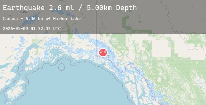
A 2.6 magnitude earthquake struck on SOUTHERN YUKON TERRITORY, CANADA, at Fri, 09 Jan 2026 01:32:43 GMT. Depth: 5km. Reviewed by NEIC seismologists, this minor quake occurred at a magnitude type of ml.
Magnitude
2.6
ml
Source
NEIC
Intensity
-
Agency Reports
2 Sources| Source | Magnitude | Depth | Time |
|---|---|---|---|
| NEICPrimary | 2.6 | 5 km | 2 days ago |
| USGS | 2.6 | 5 km | 2 days ago |
Earthquake Details
AutomaticEvent IDemsc_20260109_0000023
Tsunami PotentialNo
Magnitude Typeml
Nearest Places
- Marker Lake6.5 km
- Mount King George11.4 km
- McArthur Peak13.3 km
- Mount Queen Mary15.3 km
- Mount Logan23.2 km
Comments
Join the discussion about this event.
Latest Earthquakes
2.0Mag
West Papua Region, Indonesia
Time2 days ago
Depth10.00 km
SourceBMKG (Automatic)
4.3Mag
Southern Sumatra, Indonesia
Time2 days ago
Depth21.11 km
SourceBMKG (Automatic)
1.8Mag
3 km NNE of Jobos, Puerto Rico
Time2 days ago
Depth16.55 km
SourceUSGS
3.3Mag
SOUTHERN GREECE
Time2 days ago
Depth14.20 km
SourceNOA (Automatic)
2.1Mag
EASTERN TURKEY
Time2 days ago
Depth4.50 km
SourceKOERI (Automatic)
Nearby Earthquakes
No significant earthquakes nearby recently.