Earthquake SOUTH OF BALI, INDONESIA
Tue, 13 Jan 2026 18:37:53 GMT
Time1 day ago
Location
-9.3900, 115.1300
Depth
25.0 KM
Event Summary
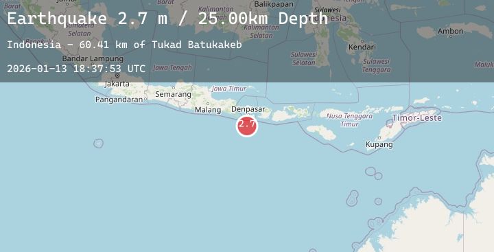
A 2.7 magnitude earthquake struck on SOUTH OF BALI, INDONESIA, at Tue, 13 Jan 2026 18:37:53 GMT. Depth: 25km. Reviewed by BMKG seismologists, this minor quake occurred at a magnitude type of m.
Magnitude
2.7
m
Source
BMKG
Intensity
-
Agency Reports
1 Sources| Source | Magnitude | Depth | Time |
|---|---|---|---|
| BMKGPrimary | 2.7 | 25 km | 1 day ago |
Earthquake Details
AutomaticEvent IDemsc_20260113_0000274
Tsunami PotentialNo
Magnitude Typem
Nearest Places
- Tukad Batukakeb60.3 km
- Tukad Jelijih60.3 km
- Tukad Kabangbukal60.4 km
- Tukad Pangpang60.4 km
- Alila Villas60.4 km
Comments
Join the discussion about this event.
Latest Earthquakes
2.6Mag
West Papua Region, Indonesia
Time1 day ago
Depth10.00 km
SourceBMKG (Automatic)
2.0Mag
SOUTHERN CALIFORNIA
Time1 day ago
Depth4.70 km
SourceSCSN (Automatic)
1.6Mag
28 km WSW of Anchor Point, Alaska
Time1 day ago
Depth91.00 km
SourceUSGS (Automatic)
3.0Mag
South of Java, Indonesia
Time1 day ago
Depth10.00 km
SourceBMKG (Automatic)
1.4Mag
CENTRAL TURKEY
Time1 day ago
Depth7.00 km
SourceAFAD (Automatic)