Earthquake NORTHERN TERRITORY, AUSTRALIA
Tue, 17 Jan 2017 15:04:20 GMT
Time9 years ago
Location
-25.5800, 130.0000
Depth
10.0 KM
Event Summary
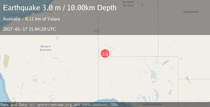
A 3.0 magnitude earthquake struck on NORTHERN TERRITORY, AUSTRALIA, at Tue, 17 Jan 2017 15:04:20 GMT. Depth: 10km. Reviewed by AUST seismologists, this minor quake occurred at a magnitude type of m.
Magnitude
3.0
m
Source
AUST
Intensity
-
Agency Reports
1 Sources| Source | Magnitude | Depth | Time |
|---|---|---|---|
| AUSTPrimary | 3.0 | 10 km | 9 years ago |
Earthquake Details
AutomaticEvent IDemsc_AUST_20170117_0000102
Tsunami PotentialNo
Magnitude Typem
Nearest Places
- Katamala Cone24.1 km
- Stevensons Peak24.4 km
- Butler Dome24.7 km
- Duffield Rocks25.3 km
- Mantapayika25.5 km
Comments
Join the discussion about this event.
Latest Earthquakes
0.9Mag
6 km NNE of Corralitos, CA
Time10 minutes ago
Depth6.95 km
SourceUSGS (Automatic)
2.0Mag
Seram, Indonesia
Time14 minutes ago
Depth15.15 km
SourceBMKG
4.4Mag
north of Halmahera, Indonesia
Time16 minutes ago
Depth10.00 km
SourceVYT (Automatic)
4.4Mag
NORTH OF HALMAHERA, INDONESIA
Time16 minutes ago
Depth10.00 km
SourceBMKG (Automatic)
3.1Mag
Sulawesi, Indonesia
Time18 minutes ago
Depth0.00 km
SourceVYT (Automatic)
Nearby Earthquakes
3.0Mag
NORTHERN TERRITORY, AUSTRALIA
Time9 years ago
Depth425.00 km
SourceAUST (Automatic)
3.0Mag
NORTHERN TERRITORY, AUSTRALIA
Time4 years ago
Depth7.00 km
SourceAUST (Automatic)
3.0Mag
NORTHERN TERRITORY, AUSTRALIA
Time9 years ago
Depth2.00 km
SourceAUST (Automatic)
3.0Mag
NORTHERN TERRITORY, AUSTRALIA
Time9 years ago
Depth2.00 km
SourceAUST (Automatic)
3.0Mag
NORTHERN TERRITORY, AUSTRALIA
Time9 years ago
Depth35.00 km
SourceAUST (Automatic)