Earthquake NORTH OF HALMAHERA, INDONESIA
Fri, 20 Feb 2026 16:36:19 GMT
Time1 hour ago
Location
4.9800, 128.7900
Depth
10.0 KM
Event Summary
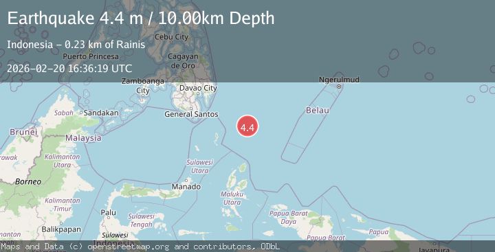
A 4.4 magnitude earthquake struck on NORTH OF HALMAHERA, INDONESIA, at Fri, 20 Feb 2026 16:36:19 GMT. Depth: 10km. Reviewed by BMKG seismologists, this light quake occurred at a magnitude type of m.
Magnitude
4.4
m
Source
BMKG
Intensity
-
Agency Reports
1 Sources| Source | Magnitude | Depth | Time |
|---|---|---|---|
| BMKGPrimary | 4.4 | 10 km | 1 hour ago |
Earthquake Details
AutomaticEvent IDemsc_BMKG_20260220_0000266
Tsunami PotentialNo
Magnitude Typem
Nearest Places
- Snellius Ridge139.8 km
- Desa Marampit Timur184.4 km
- Pulau Intata184.7 km
- Desa Kakorotan184.9 km
- Pulau Kakorotan184.9 km
Comments
Join the discussion about this event.
Latest Earthquakes
0.9Mag
6 km NNE of Corralitos, CA
Time1 hour ago
Depth6.95 km
SourceUSGS (Automatic)
4.4Mag
north of Halmahera, Indonesia
Time1 hour ago
Depth10.00 km
SourceVYT (Automatic)
3.1Mag
Sulawesi, Indonesia
Time1 hour ago
Depth0.00 km
SourceVYT (Automatic)
1.9Mag
Southeastern Alaska
Time1 hour ago
Depth17.82 km
SourceVYT (Automatic)
2.5Mag
Seram, Indonesia
Time1 hour ago
Depth8.80 km
SourceBMKG
Nearby Earthquakes
5.5Mag
North of Halmahera, Indonesia
Time4 days ago
Depth114.95 km
SourceBMKG
5.2Mag
north of Halmahera, Indonesia
Time1 week ago
Depth10.00 km
SourceVYT (Automatic)
3.8Mag
North of Halmahera, Indonesia
Time1 week ago
Depth10.00 km
SourceBMKG
4.2Mag
North of Halmahera, Indonesia
Time1 day ago
Depth129.04 km
SourceBMKG
4.0Mag
North of Halmahera, Indonesia
Time6 days ago
Depth13.92 km
SourceBMKG