Earthquake 6 km NNE of Corralitos, CA
Fri, 20 Feb 2026 16:43:09 GMT
Time1 hour ago
Location
37.0408, -121.7930
Depth
6.9 KM
Event Summary
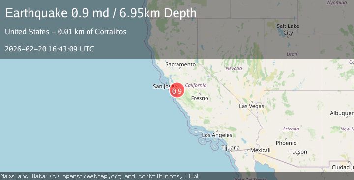
A 0.9 magnitude earthquake struck on 6 km NNE of Corralitos, CA, at Fri, 20 Feb 2026 16:43:09 GMT. Depth: 6.94999980926514km. Reviewed by USGS seismologists, this minor quake occurred at a magnitude type of md.
Magnitude
0.9
md
Source
USGS
Intensity
-
Agency Reports
1 Sources| Source | Magnitude | Depth | Time |
|---|---|---|---|
| USGSPrimary | 0.9 | 7 km | 1 hour ago |
Earthquake Details
AutomaticEvent IDusgs_nc75316407
Tsunami PotentialNo
Magnitude Typemd
Nearest Places
- Grizzly Flat0.4 km
- Rattlesnake Gulch0.5 km
- Redwood Canyon1.9 km
- Shingle Mill Gulch2.0 km
- Ramsey Gulch2.1 km
Comments
Join the discussion about this event.
Latest Earthquakes
2.0Mag
Seram, Indonesia
Time1 hour ago
Depth15.15 km
SourceBMKG
4.4Mag
north of Halmahera, Indonesia
Time1 hour ago
Depth10.00 km
SourceVYT (Automatic)
4.4Mag
NORTH OF HALMAHERA, INDONESIA
Time1 hour ago
Depth10.00 km
SourceBMKG (Automatic)
3.1Mag
Sulawesi, Indonesia
Time1 hour ago
Depth0.00 km
SourceVYT (Automatic)
1.9Mag
Southeastern Alaska
Time1 hour ago
Depth17.82 km
SourceVYT (Automatic)
Nearby Earthquakes
2.8Mag
NORTHERN CALIFORNIA
Time1 month ago
Depth12.10 km
SourceNEIC (Automatic)
1.1Mag
5 km NNE of Amesti, CA
Time5 days ago
Depth15.36 km
SourceUSGS (Automatic)
1.3Mag
8 km NE of Interlaken, CA
Time5 days ago
Depth4.78 km
SourceUSGS (Automatic)
3.0Mag
NORTHERN CALIFORNIA
Time8 years ago
Depth11.00 km
SourceNC (Automatic)
1.3Mag
6 km WSW of Gilroy, CA
Time3 weeks ago
Depth4.77 km
SourceUSGS (Automatic)