Earthquake WESTERN AUSTRALIA
Sat, 14 Feb 2026 20:08:32 GMT
Time1 week ago
Location
-33.8400, 117.9200
Depth
5.0 KM
Event Summary
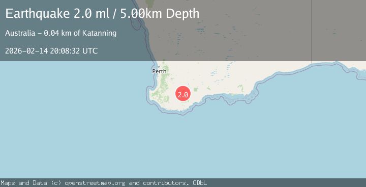
A 2.0 magnitude earthquake struck on WESTERN AUSTRALIA, at Sat, 14 Feb 2026 20:08:32 GMT. Depth: 5km. Reviewed by AUST seismologists, this minor quake occurred at a magnitude type of ml.
Magnitude
2.0
ml
Source
AUST
Intensity
-
Agency Reports
1 Sources| Source | Magnitude | Depth | Time |
|---|---|---|---|
| AUSTPrimary | 2.0 | 5 km | 1 week ago |
Earthquake Details
AutomaticEvent IDemsc_AUST_20260214_0000427
Tsunami PotentialNo
Magnitude Typeml
Nearest Places
- 2.0 km
- 2.0 km
- 3.1 km
- 3.4 km
- 3.5 km
Comments
Join the discussion about this event.
Latest Earthquakes
3.7Mag
Flores Sea
Time16 hours ago
Depth246.95 km
SourceVYT (Automatic)
2.0Mag
FRANCE
Time16 hours ago
Depth0.00 km
SourceReNaSS (Automatic)
4.5Mag
74 km W of Kailua-Kona, Hawaii
Time16 hours ago
Depth149.87 km
SourceUSGS (Automatic)
0.7Mag
21 km E of Little Lake, CA
Time16 hours ago
Depth2.70 km
SourceUSGS (Automatic)
2.1Mag
Finland
Time16 hours ago
Depth0.00 km
SourceVYT (Automatic)
Nearby Earthquakes
2.0Mag
WESTERN AUSTRALIA
Time1 week ago
Depth5.00 km
SourceAUST (Automatic)
2.2Mag
WESTERN AUSTRALIA
Time1 week ago
Depth1.00 km
SourceAUST (Automatic)
2.0Mag
WESTERN AUSTRALIA
Time5 days ago
Depth5.00 km
SourceAUST (Automatic)
2.1Mag
WESTERN AUSTRALIA
Time3 days ago
Depth1.30 km
SourceAUST (Automatic)
2.0Mag
WESTERN AUSTRALIA
Time2 weeks ago
Depth5.00 km
SourceAUST (Automatic)