Earthquake MOLUCCA SEA
Fri, 02 Jan 2026 03:00:22 GMT
Time1 month ago
Location
2.0300, 127.5000
Depth
151.0 KM
Event Summary
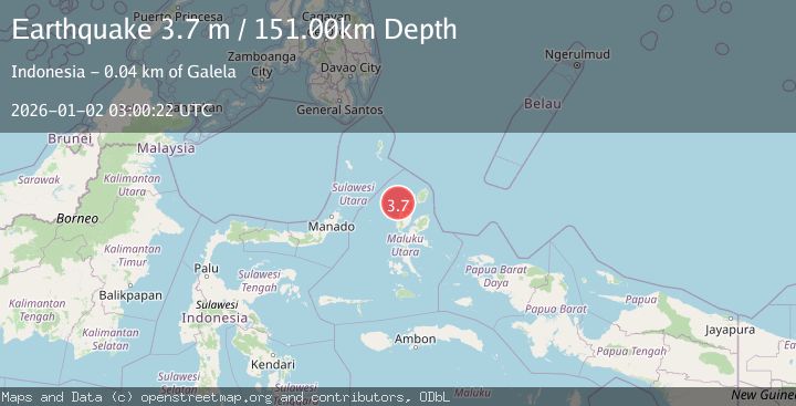
A 3.7 magnitude earthquake struck on MOLUCCA SEA, at Fri, 02 Jan 2026 03:00:22 GMT. Depth: 151km. Reviewed by BMKG seismologists, this minor quake occurred at a magnitude type of m.
Magnitude
3.7
m
Source
BMKG
Intensity
-
Agency Reports
1 Sources| Source | Magnitude | Depth | Time |
|---|---|---|---|
| BMKGPrimary | 3.7 | 151 km | 1 month ago |
Earthquake Details
AutomaticEvent IDemsc_BMKG_20260102_0000038
Tsunami PotentialNo
Magnitude Typem
Nearest Places
- Tanjung Gogusulok24.2 km
- Pulau Barataku24.4 km
- Pulau Togerebongo24.6 km
- Ake Pumadada24.7 km
- Tanjung Bilote25.4 km
Comments
Join the discussion about this event.
Latest Earthquakes
2.8Mag
Sunda Strait, Indonesia
Time6 minutes ago
Depth3.61 km
SourceBMKG
3.6Mag
south of Alaska
Time7 minutes ago
Depth10.00 km
SourceVYT (Automatic)
1.2Mag
Central Alaska
Time9 minutes ago
Depth68.97 km
SourceVYT (Automatic)
1.2Mag
Washington
Time11 minutes ago
Depth0.00 km
SourceVYT (Automatic)
0.8Mag
10 km WNW of The Geysers, CA
Time17 minutes ago
Depth1.96 km
SourceUSGS (Automatic)
Nearby Earthquakes
4.0Mag
MOLUCCA SEA
Time1 year ago
Depth91.50 km
SourceNEIC (Automatic)
5.2Mag
HALMAHERA, INDONESIA
Time15 years ago
Depth104.00 km
SourceEMSC (Automatic)
6.7Mag
HALMAHERA, INDONESIA
Time17 years ago
Depth112.00 km
SourceEMSC (Automatic)
3.0Mag
MOLUCCA SEA
Time7 months ago
Depth58.00 km
SourceBMKG (Automatic)
3.2Mag
Halmahera, Indonesia
Time3 weeks ago
Depth114.35 km
SourceBMKG (Automatic)