Earthquake Northern Sumatra, Indonesia
Sat, 07 Feb 2026 21:48:21 GMT
Time1 hour ago
Location
4.1031, 97.4236
Depth
3.0 KM
Event Summary
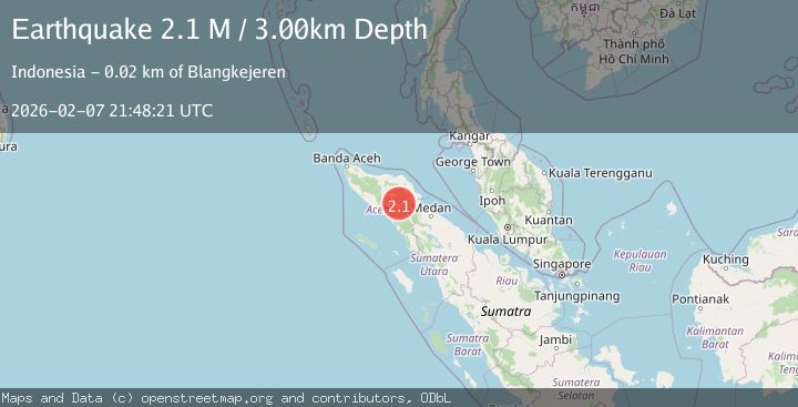
A 2.1 magnitude earthquake struck on Northern Sumatra, Indonesia, at Sat, 07 Feb 2026 21:48:21 GMT. Depth: 3km. Reviewed by BMKG seismologists, this minor quake occurred at a magnitude type of M.
Magnitude
2.1
M
Source
BMKG
Intensity
-
Agency Reports
1 Sources| Source | Magnitude | Depth | Time |
|---|---|---|---|
| BMKGPrimary | 2.1 | 3 km | 1 hour ago |
Earthquake Details
AutomaticEvent IDbmg2026crgu
Tsunami PotentialNo
Magnitude TypeM
Nearest Places
- Gampong Gajah1.0 km
- Wai Tebing3.5 km
- Burni Gajah3.8 km
- Burni Apitan4.1 km
- Waih Gajah4.5 km
Comments
Join the discussion about this event.
Latest Earthquakes
2.0Mag
2 km E of The Geysers, CA
Time8 minutes ago
Depth1.83 km
SourceUSGS (Automatic)
3.3Mag
Southern Sumatra, Indonesia
Time16 minutes ago
Depth14.52 km
SourceBMKG (Automatic)
2.6Mag
BALI REGION, INDONESIA
Time17 minutes ago
Depth178.00 km
SourceBMKG (Automatic)
2.4Mag
Flores Region, Indonesia
Time17 minutes ago
Depth144.68 km
SourceBMKG (Automatic)
3.0Mag
MINDANAO, PHILIPPINES
Time28 minutes ago
Depth20.00 km
SourcePIVS (Automatic)
Nearby Earthquakes
2.3Mag
Northern Sumatra, Indonesia
Time6 days ago
Depth5.00 km
SourceBMKG (Automatic)
3.4Mag
Northern Sumatra, Indonesia
Time1 week ago
Depth3.00 km
SourceBMKG (Automatic)
2.2Mag
Northern Sumatra, Indonesia
Time2 weeks ago
Depth2.00 km
SourceBMKG (Automatic)
2.9Mag
Northern Sumatra, Indonesia
Time1 day ago
Depth3.00 km
SourceBMKG (Automatic)
2.9Mag
Northern Sumatra, Indonesia
Time1 week ago
Depth10.00 km
SourceBMKG (Automatic)