Earthquake SOUTHERN SUMATRA, INDONESIA
Wed, 07 Jan 2026 07:21:23 GMT
Time1 month ago
Location
-3.3200, 101.5300
Depth
128.0 KM
Event Summary
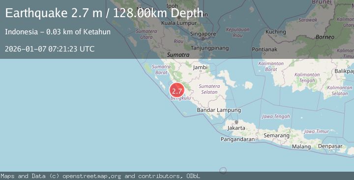
A 2.7 magnitude earthquake struck on SOUTHERN SUMATRA, INDONESIA, at Wed, 07 Jan 2026 07:21:23 GMT. Depth: 128km. Reviewed by BMKG seismologists, this minor quake occurred at a magnitude type of m.
Magnitude
2.7
m
Source
BMKG
Intensity
-
Agency Reports
1 Sources| Source | Magnitude | Depth | Time |
|---|---|---|---|
| BMKGPrimary | 2.7 | 128 km | 1 month ago |
Earthquake Details
AutomaticEvent IDemsc_BMKG_20260107_0000121
Tsunami PotentialNo
Magnitude Typem
Nearest Places
- Sungai Seblat13.3 km
- Sungai Kalikut15.2 km
- Seblat15.2 km
- Desa Kota Bani15.4 km
- Desa Talang Arah15.8 km
Comments
Join the discussion about this event.
Latest Earthquakes
3.3Mag
offshore Valparaiso, Chile
Time7 minutes ago
Depth36.50 km
SourceVYT (Automatic)
4.2Mag
Mediterranean Region, Turkey
Time9 minutes ago
Depth10.00 km
SourceVYT (Automatic)
2.9Mag
Antofagasta, Chile
Time12 minutes ago
Depth267.46 km
SourceVYT (Automatic)
1.3Mag
10 km NW of Pine Valley, CA
Time12 minutes ago
Depth8.85 km
SourceUSGS (Automatic)
2.3Mag
Alaska Peninsula
Time20 minutes ago
Depth0.00 km
SourceVYT (Automatic)
Nearby Earthquakes
3.0Mag
Southern Sumatra, Indonesia
Time3 days ago
Depth12.56 km
SourceBMKG
5.4Mag
SOUTHERN SUMATRA, INDONESIA
Time7 years ago
Depth46.00 km
SourceEMSC (Automatic)
3.0Mag
SOUTHERN SUMATRA, INDONESIA
Time10 months ago
Depth38.00 km
SourceBMKG (Automatic)
3.4Mag
SOUTHERN SUMATRA, INDONESIA
Time1 month ago
Depth46.00 km
SourceBMKG (Automatic)
2.7Mag
SOUTHERN SUMATRA, INDONESIA
Time1 month ago
Depth44.00 km
SourceBMKG (Automatic)