Earthquake 10 km NW of Pine Valley, CA
Fri, 20 Feb 2026 03:07:21 GMT
Time1 hour ago
Location
32.8947, -116.5987
Depth
8.9 KM
Event Summary
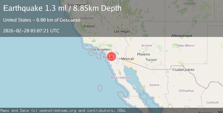
A 1.3 magnitude earthquake struck on 10 km NW of Pine Valley, CA, at Fri, 20 Feb 2026 03:07:21 GMT. Depth: 8.85000038146973km. Reviewed by USGS seismologists, this minor quake occurred at a magnitude type of ml.
Magnitude
1.3
ml
Source
USGS
Intensity
-
Agency Reports
1 Sources| Source | Magnitude | Depth | Time |
|---|---|---|---|
| USGSPrimary | 1.3 | 9 km | 1 hour ago |
Earthquake Details
AutomaticEvent IDusgs_ci41400256
Tsunami PotentialNo
Magnitude Typeml
Nearest Places
- Descanso Creek West Trail1.1 km
- Pine Ridge1.3 km
- Green Valley Falls1.6 km
- Green Valley Area Campground1.7 km
- Arroyo Seco1.9 km
Comments
Join the discussion about this event.
Latest Earthquakes
3.3Mag
offshore Valparaiso, Chile
Time1 hour ago
Depth36.50 km
SourceVYT (Automatic)
4.2Mag
Mediterranean Region, Turkey
Time1 hour ago
Depth10.00 km
SourceVYT (Automatic)
2.9Mag
Antofagasta, Chile
Time1 hour ago
Depth267.46 km
SourceVYT (Automatic)
2.3Mag
Alaska Peninsula
Time1 hour ago
Depth0.00 km
SourceVYT (Automatic)
5.0Mag
Halmahera, Indonesia
Time1 hour ago
Depth105.96 km
SourceVYT (Automatic)
Nearby Earthquakes
0.9Mag
10 km W of Pine Valley, CA
Time1 week ago
Depth13.02 km
SourceUSGS (Automatic)
1.2Mag
12 km NE of Alpine, CA
Time3 weeks ago
Depth4.35 km
SourceUSGS (Automatic)
1.5Mag
10 km W of Pine Valley, CA
Time3 weeks ago
Depth16.27 km
SourceUSGS (Automatic)
1.3Mag
10 km W of Pine Valley, CA
Time3 weeks ago
Depth17.34 km
SourceUSGS (Automatic)
1.0Mag
11 km NNE of Pine Valley, CA
Time3 days ago
Depth10.13 km
SourceUSGS (Automatic)