Earthquake MOLUCCA SEA
Thu, 08 Jan 2026 15:32:58 GMT
Time1 month ago
Location
0.7100, 126.6000
Depth
40.0 KM
Event Summary
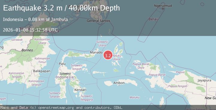
A 3.2 magnitude earthquake struck on MOLUCCA SEA, at Thu, 08 Jan 2026 15:32:58 GMT. Depth: 40km. Reviewed by BMKG seismologists, this minor quake occurred at a magnitude type of m.
Magnitude
3.2
m
Source
BMKG
Intensity
-
Agency Reports
1 Sources| Source | Magnitude | Depth | Time |
|---|---|---|---|
| BMKGPrimary | 3.2 | 40 km | 1 month ago |
Earthquake Details
AutomaticEvent IDemsc_BMKG_20260108_0000226
Tsunami PotentialNo
Magnitude Typem
Nearest Places
- Ternate Trough24.5 km
- Kelurahan Tifure58.2 km
- Pulau Tifore58.9 km
- Pulau Gureda59.0 km
- Kelurahan Pantai Sagu59.5 km
Comments
Join the discussion about this event.
Latest Earthquakes
1.2Mag
8 km SW of Morongo Valley, CA
Time18 hours ago
Depth15.22 km
SourceUSGS (Automatic)
2.4Mag
Northern Sumatra, Indonesia
Time18 hours ago
Depth7.72 km
SourceBMKG
2.3Mag
Tarapaca, Chile
Time18 hours ago
Depth61.65 km
SourceVYT (Automatic)
2.0Mag
Poland
Time18 hours ago
Depth2.32 km
SourceVYT (Automatic)
1.1Mag
4 km SSE of Banning, CA
Time18 hours ago
Depth15.73 km
SourceUSGS (Automatic)
Nearby Earthquakes
5.0Mag
MOLUCCA SEA
Time16 years ago
Depth60.00 km
SourceEMSC (Automatic)
4.0Mag
MOLUCCA SEA
Time6 years ago
Depth10.00 km
SourceDJA (Automatic)
4.7Mag
Northern Molucca Sea
Time1 week ago
Depth13.92 km
SourceBMKG (Automatic)
5.0Mag
MOLUCCA SEA
Time19 years ago
Depth40.00 km
SourceEMSC (Automatic)
3.0Mag
MOLUCCA SEA
Time1 year ago
Depth18.00 km
SourceBMKG (Automatic)