Earthquake Northern Molucca Sea
Sat, 07 Feb 2026 23:35:11 GMT
Time1 hour ago
Location
0.7880, 126.6031
Depth
13.9 KM
Event Summary
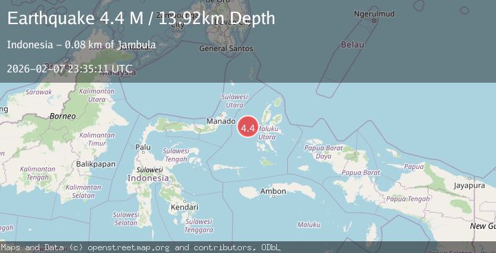
A 4.4 magnitude earthquake struck on Northern Molucca Sea, at Sat, 07 Feb 2026 23:35:11 GMT. Depth: 13.91509km. Reviewed by BMKG seismologists, this light quake occurred at a magnitude type of M.
Magnitude
4.4
M
Source
BMKG
Intensity
-
Agency Reports
1 Sources| Source | Magnitude | Depth | Time |
|---|---|---|---|
| BMKGPrimary | 4.4 | 14 km | 1 hour ago |
Earthquake Details
AutomaticEvent IDbmg2026crkh
Tsunami PotentialNo
Magnitude TypeM
Nearest Places
- Ternate Trough32.8 km
- Kelurahan Tifure54.8 km
- Pulau Gureda55.3 km
- Pulau Tifore55.4 km
- Kelurahan Pantai Sagu56.0 km
Comments
Join the discussion about this event.
Latest Earthquakes
2.6Mag
Java, Indonesia
Time15 minutes ago
Depth19.44 km
SourceBMKG (Automatic)
1.3Mag
7 km S of San Juan Bautista, CA
Time17 minutes ago
Depth7.76 km
SourceUSGS (Automatic)
1.1Mag
EASTERN TURKEY
Time22 minutes ago
Depth7.00 km
SourceAFAD (Automatic)
2.1Mag
Flores Region, Indonesia
Time29 minutes ago
Depth174.47 km
SourceBMKG (Automatic)
1.5Mag
97 km NW of Yakutat, Alaska
Time31 minutes ago
Depth1.80 km
SourceUSGS (Automatic)
Nearby Earthquakes
3.1Mag
Northern Molucca Sea
Time1 week ago
Depth27.94 km
SourceBMKG (Automatic)
3.0Mag
Northern Molucca Sea
Time1 week ago
Depth25.04 km
SourceBMKG (Automatic)
2.8Mag
MOLUCCA SEA
Time5 days ago
Depth23.00 km
SourceBMKG (Automatic)
4.2Mag
Northern Molucca Sea
Time6 days ago
Depth18.91 km
SourceBMKG (Automatic)
3.6Mag
Northern Molucca Sea
Time1 week ago
Depth10.00 km
SourceBMKG (Automatic)