Earthquake NORTHERN SUMATRA, INDONESIA
Thu, 08 Jan 2026 18:54:34 GMT
Time1 month ago
Location
4.7400, 96.7700
Depth
6.0 KM
Event Summary
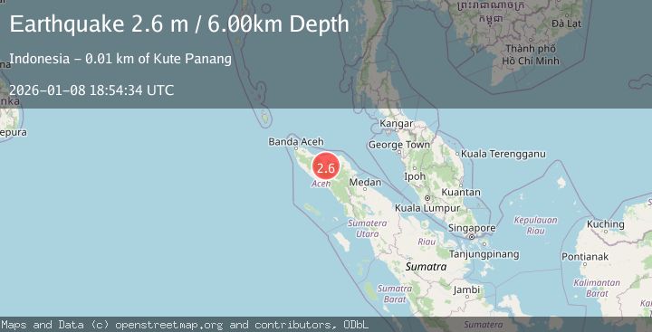
A 2.6 magnitude earthquake struck on NORTHERN SUMATRA, INDONESIA, at Thu, 08 Jan 2026 18:54:34 GMT. Depth: 6km. Reviewed by BMKG seismologists, this minor quake occurred at a magnitude type of m.
Magnitude
2.6
m
Source
BMKG
Intensity
-
Agency Reports
1 Sources| Source | Magnitude | Depth | Time |
|---|---|---|---|
| BMKGPrimary | 2.6 | 6 km | 1 month ago |
Earthquake Details
AutomaticEvent IDemsc_BMKG_20260108_0000268
Tsunami PotentialNo
Magnitude Typem
Nearest Places
- Gampong Bumi Ayu0.2 km
- Alur Kenine0.4 km
- Blok C0.7 km
- Gampong Mude Benara0.8 km
- Bandar Lampahan0.8 km
Comments
Join the discussion about this event.
Latest Earthquakes
5.4Mag
Java, Indonesia
Time16 hours ago
Depth178.10 km
SourceVYT (Automatic)
2.1Mag
Antofagasta, Chile
Time16 hours ago
Depth0.00 km
SourceVYT (Automatic)
3.1Mag
DODECANESE IS.-TURKEY BORDER REG
Time16 hours ago
Depth17.00 km
SourceTHE (Automatic)
3.1Mag
south of Alaska
Time16 hours ago
Depth10.00 km
SourceVYT (Automatic)
1.5Mag
8 km SW of Morongo Valley, CA
Time16 hours ago
Depth14.40 km
SourceUSGS (Automatic)
Nearby Earthquakes
2.7Mag
Northern Sumatra, Indonesia
Time5 days ago
Depth4.08 km
SourceBMKG
2.9Mag
northern Sumatra, Indonesia
Time1 day ago
Depth8.18 km
SourceVYT (Automatic)
2.5Mag
Northern Sumatra, Indonesia
Time3 weeks ago
Depth6.53 km
SourceBMKG (Automatic)
3.0Mag
NORTHERN SUMATRA, INDONESIA
Time1 month ago
Depth5.00 km
SourceBMKG (Automatic)
2.5Mag
Northern Sumatra, Indonesia
Time1 day ago
Depth10.00 km
SourceBMKG