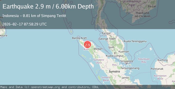
Earthquake northern Sumatra, Indonesia
Tue, 17 Feb 2026 07:58:29 GMT
Time1 day ago
Location
4.7388, 96.7633
Depth
8.2 KM
Event Summary
A 2.9 magnitude earthquake struck on northern Sumatra, Indonesia, at Tue, 17 Feb 2026 07:58:29 GMT. Depth: 8.1787109375km. Reviewed by VYT seismologists, this minor quake occurred at a magnitude type of earthquake.
Magnitude
2.9
earthquake
Source
VYT
Intensity
-
Agency Reports
2 Sources| Source | Magnitude | Depth | Time |
|---|---|---|---|
| VYTPrimary | 2.6 | 8 km | 1 day ago |
| BMKG | 2.9 | 6 km | 1 day ago |
Earthquake Details
AutomaticEvent IDvyt_1vb15qey15ryx
Tsunami PotentialNo
Magnitude Typeearthquake
Nearest Places
- Alur Kenine0.5 km
- Gampong Bumi Ayu0.6 km
- Gampong Suka Makmur Timur0.7 km
- Blok C0.9 km
- Sukamakmut1.0 km
Comments
Join the discussion about this event.
Latest Earthquakes
4.3Mag
Antofagasta, Chile
Time6 hours ago
Depth131.35 km
SourceVYT (Automatic)
1.8Mag
Kenai Peninsula, Alaska
Time6 hours ago
Depth42.24 km
SourceVYT (Automatic)
1.7Mag
Central Alaska
Time6 hours ago
Depth196.04 km
SourceVYT (Automatic)
0.7Mag
5 km NW of The Geysers, CA
Time6 hours ago
Depth3.16 km
SourceUSGS (Automatic)
3.6Mag
OFF W. COAST OF N. ISLAND, N.Z.
Time6 hours ago
Depth5.00 km
SourceGNS (Automatic)
Nearby Earthquakes
2.6Mag
NORTHERN SUMATRA, INDONESIA
Time1 month ago
Depth6.00 km
SourceBMKG (Automatic)
2.5Mag
Northern Sumatra, Indonesia
Time3 weeks ago
Depth6.53 km
SourceBMKG (Automatic)
2.7Mag
Northern Sumatra, Indonesia
Time6 days ago
Depth4.08 km
SourceBMKG
3.7Mag
Northern Sumatra, Indonesia
Time2 weeks ago
Depth5.47 km
SourceBMKG (Automatic)
2.6Mag
Northern Sumatra, Indonesia
Time3 weeks ago
Depth10.00 km
SourceBMKG (Automatic)