Earthquake Northern Sumatra, Indonesia
Thu, 12 Feb 2026 12:47:10 GMT
Time5 days ago
Location
4.7453, 96.7723
Depth
4.1 KM
Event Summary
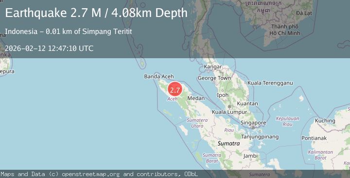
A 2.7 magnitude earthquake struck on Northern Sumatra, Indonesia, at Thu, 12 Feb 2026 12:47:10 GMT. Depth: 4.08444km. Reviewed by BMKG seismologists, this minor quake occurred at a magnitude type of M.
Magnitude
2.7
M
Source
BMKG
Intensity
-
Agency Reports
1 Sources| Source | Magnitude | Depth | Time |
|---|---|---|---|
| BMKGPrimary | 2.7 | 4 km | 5 days ago |
Earthquake Details
ManualEvent IDbmg2026czsl
Tsunami PotentialNo
Magnitude TypeM
Nearest Places
- Gampong Mude Benara0.3 km
- Blok C0.6 km
- Gampong Bumi Ayu0.8 km
- Bandar Lampahan0.8 km
- Alur Kenine1.0 km
Comments
Join the discussion about this event.
Latest Earthquakes
2.8Mag
Sulawesi, Indonesia
Time1 minute ago
Depth21.08 km
SourceBMKG
2.1Mag
WESTERN TURKEY
Time5 minutes ago
Depth12.30 km
SourceKOERI (Automatic)
2.2Mag
Alaska Peninsula
Time5 minutes ago
Depth57.74 km
SourceVYT (Automatic)
3.7Mag
WESTERN TURKEY
Time8 minutes ago
Depth13.30 km
SourceKOERI (Automatic)
1.6Mag
27 km ESE of Balmorhea, Texas
Time8 minutes ago
Depth3.56 km
SourceUSGS (Automatic)
Nearby Earthquakes
2.6Mag
NORTHERN SUMATRA, INDONESIA
Time1 month ago
Depth6.00 km
SourceBMKG (Automatic)
2.9Mag
northern Sumatra, Indonesia
Time1 day ago
Depth8.18 km
SourceVYT (Automatic)
2.5Mag
Northern Sumatra, Indonesia
Time3 weeks ago
Depth6.53 km
SourceBMKG (Automatic)
2.4Mag
Northern Sumatra, Indonesia
Time22 hours ago
Depth3.00 km
SourceBMKG
2.5Mag
Northern Sumatra, Indonesia
Time1 day ago
Depth10.00 km
SourceBMKG