Earthquake SOUTH OF SUMBAWA, INDONESIA
Sat, 10 Jan 2026 03:46:41 GMT
Time1 month ago
Location
-11.0100, 118.7000
Depth
10.0 KM
Event Summary
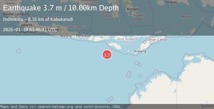
A 3.7 magnitude earthquake struck on SOUTH OF SUMBAWA, INDONESIA, at Sat, 10 Jan 2026 03:46:41 GMT. Depth: 10km. Reviewed by BMKG seismologists, this minor quake occurred at a magnitude type of m.
Magnitude
3.7
m
Source
BMKG
Intensity
-
Agency Reports
1 Sources| Source | Magnitude | Depth | Time |
|---|---|---|---|
| BMKGPrimary | 3.7 | 10 km | 1 month ago |
Earthquake Details
AutomaticEvent IDemsc_BMKG_20260110_0000052
Tsunami PotentialNo
Magnitude Typem
Nearest Places
- Watu Kalode149.5 km
- Tanjung Mambang149.8 km
- Tanjung Toroha149.8 km
- Tanjung Matogola149.9 km
- Tanjung Rica149.9 km
Comments
Join the discussion about this event.
Latest Earthquakes
1.0Mag
Southeastern Alaska
Time4 minutes ago
Depth0.00 km
SourceVYT (Automatic)
3.5Mag
COOK STRAIT, NEW ZEALAND
Time5 minutes ago
Depth75.30 km
SourceGNS (Automatic)
2.4Mag
Seram, Indonesia
Time7 minutes ago
Depth18.42 km
SourceBMKG
2.6Mag
West Papua Region, Indonesia
Time9 minutes ago
Depth17.35 km
SourceBMKG
2.8Mag
Antofagasta, Chile
Time13 minutes ago
Depth0.00 km
SourceVYT (Automatic)
Nearby Earthquakes
3.2Mag
SOUTH OF SUMBAWA, INDONESIA
Time1 month ago
Depth14.00 km
SourceBMKG (Automatic)
2.8Mag
SOUTH OF SUMBAWA, INDONESIA
Time1 month ago
Depth10.00 km
SourceBMKG (Automatic)
3.4Mag
South of Sumbawa, Indonesia
Time2 weeks ago
Depth10.00 km
SourceBMKG (Automatic)
3.5Mag
SOUTH OF SUMBAWA, INDONESIA
Time1 month ago
Depth10.00 km
SourceBMKG (Automatic)
3.0Mag
SOUTH OF SUMBAWA, INDONESIA
Time1 month ago
Depth10.00 km
SourceBMKG (Automatic)