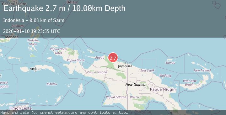
Earthquake NEAR N COAST OF PAPUA, INDONESIA
Sat, 10 Jan 2026 19:23:55 GMT
Time1 month ago
Location
-1.7700, 139.0300
Depth
10.0 KM
Event Summary
A 2.7 magnitude earthquake struck on NEAR N COAST OF PAPUA, INDONESIA, at Sat, 10 Jan 2026 19:23:55 GMT. Depth: 10km. Reviewed by BMKG seismologists, this minor quake occurred at a magnitude type of m.
Magnitude
2.7
m
Source
BMKG
Intensity
-
Agency Reports
1 Sources| Source | Magnitude | Depth | Time |
|---|---|---|---|
| BMKGPrimary | 2.7 | 10 km | 1 month ago |
Earthquake Details
AutomaticEvent IDemsc_BMKG_20260110_0000257
Tsunami PotentialNo
Magnitude Typem
Nearest Places
- Wakde18.2 km
- Pulau Insumoar18.6 km
- Pulau-pulau Wakde19.1 km
- Insumanai20.3 km
- Air Tementu22.1 km
Comments
Join the discussion about this event.
Latest Earthquakes
2.3Mag
Sulawesi, Indonesia
Time2 minutes ago
Depth5.74 km
SourceBMKG
1.5Mag
Southern Alaska
Time2 minutes ago
Depth40.04 km
SourceVYT (Automatic)
0.7Mag
8 km NW of The Geysers, CA
Time9 minutes ago
Depth1.59 km
SourceUSGS (Automatic)
1.2Mag
Southern Alaska
Time10 minutes ago
Depth16.72 km
SourceVYT (Automatic)
1.6Mag
49 km W of Mentone, Texas
Time10 minutes ago
Depth4.59 km
SourceUSGS (Automatic)
Nearby Earthquakes
2.8Mag
Near North Coast of West Papua
Time1 week ago
Depth18.40 km
SourceBMKG (Automatic)
3.0Mag
NEAR N COAST OF PAPUA, INDONESIA
Time4 months ago
Depth13.00 km
SourceBMKG (Automatic)
4.0Mag
NEAR N COAST OF PAPUA, INDONESIA
Time5 months ago
Depth10.00 km
SourceBMKG (Automatic)
3.0Mag
NEAR N COAST OF PAPUA, INDONESIA
Time3 months ago
Depth10.00 km
SourceBMKG (Automatic)
3.0Mag
NEAR N COAST OF PAPUA, INDONESIA
Time5 months ago
Depth10.00 km
SourceBMKG (Automatic)