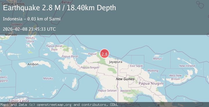
Earthquake Near North Coast of West Papua
Sun, 08 Feb 2026 23:45:30 GMT
Time4 hours ago
Location
-1.6779, 139.0117
Depth
10.0 KM
Event Summary
A 2.6 magnitude earthquake struck on Near North Coast of West Papua, at Sun, 08 Feb 2026 23:45:30 GMT. Depth: 10km. Reviewed by BMKG seismologists, this minor quake occurred at a magnitude type of M.
Magnitude
2.6
M
Source
BMKG
Intensity
-
Agency Reports
1 Sources| Source | Magnitude | Depth | Time |
|---|---|---|---|
| BMKGPrimary | 2.6 | 10 km | 4 hours ago |
Earthquake Details
AutomaticEvent IDbmg2026ctgd
Tsunami PotentialNo
Magnitude TypeM
Nearest Places
- Kampung Armo23.7 km
- Pulau Armo24.1 km
- Pulau Lamsutu28.1 km
- Wakde28.4 km
- Pulau-pulau Kumamba28.6 km
Comments
Join the discussion about this event.
Latest Earthquakes
3.2Mag
Sumba Region, Indonesia
Time4 hours ago
Depth2.39 km
SourceBMKG (Automatic)
2.9Mag
Minahassa Peninsula, Sulawesi
Time4 hours ago
Depth104.92 km
SourceBMKG (Automatic)
1.1Mag
TURKEY-IRAN BORDER REGION
Time4 hours ago
Depth7.10 km
SourceAFAD (Automatic)
2.9Mag
ICELAND REGION
Time4 hours ago
Depth0.00 km
SourceIMO (Automatic)
2.2Mag
Sumbawa Region, Indonesia
Time4 hours ago
Depth83.24 km
SourceBMKG (Automatic)
Nearby Earthquakes
3.2Mag
Near North Coast of West Papua
Time1 week ago
Depth10.00 km
SourceBMKG (Automatic)
3.5Mag
Near North Coast of West Papua
Time1 week ago
Depth9.75 km
SourceBMKG (Automatic)
2.9Mag
NEAR N COAST OF PAPUA, INDONESIA
Time2 days ago
Depth79.00 km
SourceBMKG (Automatic)
2.9Mag
Near North Coast of West Papua
Time1 week ago
Depth14.41 km
SourceBMKG (Automatic)
2.7Mag
West Papua, Indonesia
Time2 weeks ago
Depth73.44 km
SourceBMKG (Automatic)