Earthquake SUMBA REGION, INDONESIA
Sun, 11 Jan 2026 18:41:31 GMT
Time1 month ago
Location
-9.3600, 120.2300
Depth
15.0 KM
Event Summary
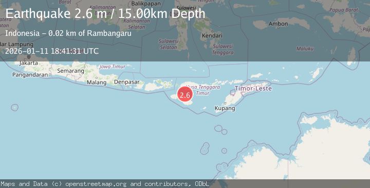
A 2.6 magnitude earthquake struck on SUMBA REGION, INDONESIA, at Sun, 11 Jan 2026 18:41:31 GMT. Depth: 15km. Reviewed by BMKG seismologists, this minor quake occurred at a magnitude type of m.
Magnitude
2.6
m
Source
BMKG
Intensity
-
Agency Reports
1 Sources| Source | Magnitude | Depth | Time |
|---|---|---|---|
| BMKGPrimary | 2.6 | 15 km | 1 month ago |
Earthquake Details
AutomaticEvent IDemsc_BMKG_20260111_0000276
Tsunami PotentialNo
Magnitude Typem
Nearest Places
- Tanjung Laundi13.2 km
- Tanjung Ngaruruhu14.2 km
- Luku Patekiwatutila15.8 km
- Polandalima16.5 km
- Hambapraing16.9 km
Comments
Join the discussion about this event.
Latest Earthquakes
2.1Mag
Halmahera, Indonesia
Time16 hours ago
Depth4.45 km
SourceBMKG
3.4Mag
Talaud Islands, Indonesia
Time16 hours ago
Depth98.99 km
SourceBMKG
2.1Mag
Flores Region, Indonesia
Time16 hours ago
Depth165.90 km
SourceBMKG
2.4Mag
Sumbawa region, Indonesia
Time16 hours ago
Depth19.65 km
SourceVYT (Automatic)
2.1Mag
Poland
Time16 hours ago
Depth1.95 km
SourceVYT (Automatic)
Nearby Earthquakes
2.3Mag
Sumba Region, Indonesia
Time1 week ago
Depth49.56 km
SourceBMKG (Automatic)
2.5Mag
SUMBA REGION, INDONESIA
Time1 month ago
Depth53.00 km
SourceBMKG (Automatic)
2.1Mag
Sumba Region, Indonesia
Time3 days ago
Depth52.06 km
SourceBMKG
5.1Mag
SUMBA REGION, INDONESIA
Time14 years ago
Depth94.00 km
SourceEMSC (Automatic)
3.0Mag
SUMBA REGION, INDONESIA
Time2 years ago
Depth50.00 km
SourceBMKG (Automatic)