Earthquake Sumba Region, Indonesia
Sat, 07 Feb 2026 02:35:33 GMT
Time1 hour ago
Location
-9.3775, 120.2177
Depth
49.6 KM
Event Summary
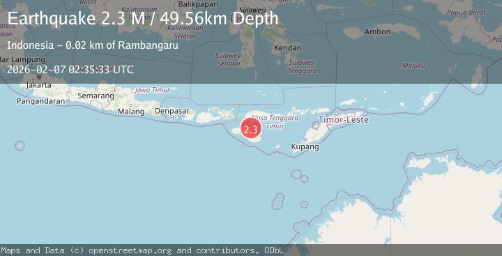
A 2.3 magnitude earthquake struck on Sumba Region, Indonesia, at Sat, 07 Feb 2026 02:35:33 GMT. Depth: 49.558319km. Reviewed by BMKG seismologists, this minor quake occurred at a magnitude type of M.
Magnitude
2.3
M
Source
BMKG
Intensity
-
Agency Reports
1 Sources| Source | Magnitude | Depth | Time |
|---|---|---|---|
| BMKGPrimary | 2.3 | 50 km | 1 hour ago |
Earthquake Details
AutomaticEvent IDbmg2026cput
Tsunami PotentialNo
Magnitude TypeM
Nearest Places
- Tanjung Laundi10.9 km
- Tanjung Ngaruruhu11.9 km
- Luku Patekiwatutila13.8 km
- Polandalima14.3 km
- Hambapraing14.7 km
Comments
Join the discussion about this event.
Latest Earthquakes
2.5Mag
Java, Indonesia
Time4 minutes ago
Depth8.74 km
SourceBMKG (Automatic)
3.3Mag
West Papua Region, Indonesia
Time7 minutes ago
Depth24.19 km
SourceBMKG (Automatic)
3.2Mag
WESTERN TEXAS
Time10 minutes ago
Depth10.00 km
SourceNEIC (Automatic)
2.2Mag
53 km WSW of Akhiok, Alaska
Time14 minutes ago
Depth7.30 km
SourceUSGS (Automatic)
3.0Mag
WESTERN AUSTRALIA
Time19 minutes ago
Depth12.00 km
SourceAUST (Automatic)
Nearby Earthquakes
2.3Mag
Sumba Region, Indonesia
Time1 week ago
Depth57.08 km
SourceBMKG (Automatic)
2.5Mag
Sumba Region, Indonesia
Time2 days ago
Depth61.17 km
SourceBMKG (Automatic)
2.6Mag
Sumba Region, Indonesia
Time1 week ago
Depth57.11 km
SourceBMKG (Automatic)
2.6Mag
Sumba Region, Indonesia
Time2 weeks ago
Depth2.09 km
SourceBMKG (Automatic)
3.1Mag
Sumba Region, Indonesia
Time1 week ago
Depth7.25 km
SourceBMKG (Automatic)