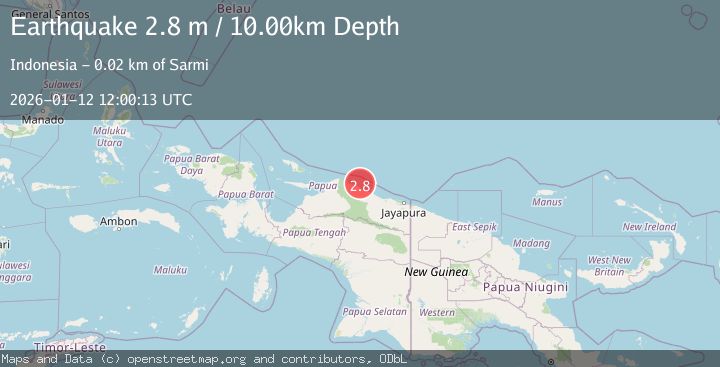
Earthquake NEAR N COAST OF PAPUA, INDONESIA
Mon, 12 Jan 2026 12:00:13 GMT
Time1 month ago
Location
-1.7000, 138.8200
Depth
10.0 KM
Event Summary
A 2.8 magnitude earthquake struck on NEAR N COAST OF PAPUA, INDONESIA, at Mon, 12 Jan 2026 12:00:13 GMT. Depth: 10km. Reviewed by BMKG seismologists, this minor quake occurred at a magnitude type of m.
Magnitude
2.8
m
Source
BMKG
Intensity
-
Agency Reports
1 Sources| Source | Magnitude | Depth | Time |
|---|---|---|---|
| BMKGPrimary | 2.8 | 10 km | 1 month ago |
Earthquake Details
AutomaticEvent IDemsc_BMKG_20260112_0000175
Tsunami PotentialNo
Magnitude Typem
Nearest Places
- Kampung Armo3.3 km
- Pulau Armo3.3 km
- Pulau Lamsutu9.0 km
- Pulau-pulau Kumamba9.1 km
- Pulau Liki14.6 km
Comments
Join the discussion about this event.
Latest Earthquakes
2.6Mag
Spain
Time1 minute ago
Depth10.00 km
SourceVYT (Automatic)
1.6Mag
Alaska Peninsula
Time6 minutes ago
Depth15.63 km
SourceVYT (Automatic)
2.0Mag
Southern Sumatra, Indonesia
Time7 minutes ago
Depth22.20 km
SourceBMKG
2.2Mag
FRANCE
Time16 minutes ago
Depth5.00 km
SourceReNaSS (Automatic)
3.5Mag
Fox Islands, Aleutian Islands, Alaska
Time16 minutes ago
Depth72.63 km
SourceVYT (Automatic)
Nearby Earthquakes
3.0Mag
NEAR N COAST OF PAPUA, INDONESIA
Time1 week ago
Depth10.00 km
SourceBMKG (Automatic)
5.5Mag
NEAR N COAST OF PAPUA, INDONESIA
Time11 years ago
Depth33.00 km
SourceEMSC (Automatic)
3.0Mag
NEAR N COAST OF PAPUA, INDONESIA
Time5 months ago
Depth24.00 km
SourceBMKG (Automatic)
3.0Mag
NEAR N COAST OF PAPUA, INDONESIA
Time4 months ago
Depth10.00 km
SourceBMKG (Automatic)
5.3Mag
NEAR N COAST OF PAPUA, INDONESIA
Time12 years ago
Depth20.00 km
SourceEMSC (Automatic)