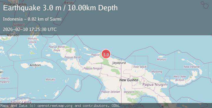
Earthquake NEAR N COAST OF PAPUA, INDONESIA
Tue, 10 Feb 2026 17:25:30 GMT
Time1 week ago
Location
-1.6900, 138.7500
Depth
10.0 KM
Event Summary
A 3.0 magnitude earthquake struck on NEAR N COAST OF PAPUA, INDONESIA, at Tue, 10 Feb 2026 17:25:30 GMT. Depth: 10km. Reviewed by BMKG seismologists, this minor quake occurred at a magnitude type of m.
Magnitude
3.0
m
Source
BMKG
Intensity
-
Agency Reports
1 Sources| Source | Magnitude | Depth | Time |
|---|---|---|---|
| BMKGPrimary | 3.0 | 10 km | 1 week ago |
Earthquake Details
AutomaticEvent IDemsc_BMKG_20260210_0000252
Tsunami PotentialNo
Magnitude Typem
Nearest Places
- Pulau-pulau Kumamba4.5 km
- Pulau Armo5.1 km
- Pulau Lamsutu5.2 km
- Kampung Armo5.5 km
- Sau9.0 km
Comments
Join the discussion about this event.
Latest Earthquakes
0.6Mag
Southern Alaska
Time2 minutes ago
Depth0.00 km
SourceVYT (Automatic)
3.2Mag
Northern Molucca Sea
Time4 minutes ago
Depth78.57 km
SourceBMKG
1.3Mag
Oregon
Time4 minutes ago
Depth0.00 km
SourceVYT (Automatic)
2.0Mag
Tarapaca, Chile
Time6 minutes ago
Depth104.13 km
SourceVYT (Automatic)
2.0Mag
Tarapaca, Chile
Time9 minutes ago
Depth120.97 km
SourceVYT (Automatic)
Nearby Earthquakes
3.0Mag
NEAR N COAST OF PAPUA, INDONESIA
Time4 months ago
Depth10.00 km
SourceBMKG (Automatic)
5.0Mag
NEAR N COAST OF PAPUA, INDONESIA
Time17 years ago
Depth10.00 km
SourceGFZ (Automatic)
2.8Mag
NEAR N COAST OF PAPUA, INDONESIA
Time1 month ago
Depth10.00 km
SourceBMKG (Automatic)
5.3Mag
NEAR N COAST OF PAPUA, INDONESIA
Time14 years ago
Depth22.00 km
SourceEMSC (Automatic)
5.3Mag
NEAR N COAST OF PAPUA, INDONESIA
Time12 years ago
Depth20.00 km
SourceEMSC (Automatic)