Earthquake SOUTH OF SUMBAWA, INDONESIA
Mon, 12 Jan 2026 21:14:58 GMT
Time1 month ago
Location
-11.0500, 117.9800
Depth
10.0 KM
Event Summary
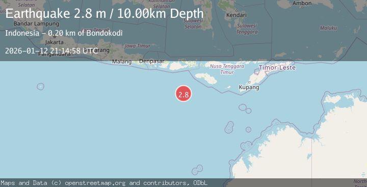
A 2.8 magnitude earthquake struck on SOUTH OF SUMBAWA, INDONESIA, at Mon, 12 Jan 2026 21:14:58 GMT. Depth: 10km. Reviewed by BMKG seismologists, this minor quake occurred at a magnitude type of m.
Magnitude
2.8
m
Source
BMKG
Intensity
-
Agency Reports
1 Sources| Source | Magnitude | Depth | Time |
|---|---|---|---|
| BMKGPrimary | 2.8 | 10 km | 1 month ago |
Earthquake Details
AutomaticEvent IDemsc_BMKG_20260112_0000319
Tsunami PotentialNo
Magnitude Typem
Nearest Places
- Corona Bank165.2 km
- Tanjung Waibuku191.0 km
- Loko Waikataku191.0 km
- Tanjung Waikataku191.1 km
- Tanjung Karosso191.1 km
Comments
Join the discussion about this event.
Latest Earthquakes
1.0Mag
Southeastern Alaska
Time6 minutes ago
Depth0.00 km
SourceVYT (Automatic)
3.5Mag
COOK STRAIT, NEW ZEALAND
Time7 minutes ago
Depth75.30 km
SourceGNS (Automatic)
2.4Mag
Seram, Indonesia
Time8 minutes ago
Depth18.42 km
SourceBMKG
2.6Mag
West Papua Region, Indonesia
Time11 minutes ago
Depth17.35 km
SourceBMKG
5.0Mag
CENTRAL MID-ATLANTIC RIDGE
Time12 minutes ago
Depth10.00 km
SourceEMSC (Automatic)
Nearby Earthquakes
3.0Mag
SOUTH OF SUMBAWA, INDONESIA
Time0 years ago
Depth10.00 km
SourceBMKG (Automatic)
2.9Mag
SOUTH OF SUMBAWA, INDONESIA
Time1 month ago
Depth10.00 km
SourceBMKG (Automatic)
2.9Mag
SOUTH OF SUMBAWA, INDONESIA
Time1 month ago
Depth30.00 km
SourceBMKG (Automatic)
3.0Mag
South of Sumbawa, Indonesia
Time2 weeks ago
Depth0.00 km
SourceBMKG (Automatic)
3.8Mag
South of Sumbawa, Indonesia
Time3 weeks ago
Depth10.00 km
SourceBMKG (Automatic)