Earthquake SOUTH OF SUMBAWA, INDONESIA
Wed, 14 Jan 2026 01:12:59 GMT
Time1 month ago
Location
-11.0400, 118.0800
Depth
10.0 KM
Event Summary
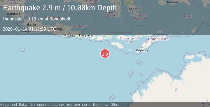
A 2.9 magnitude earthquake struck on SOUTH OF SUMBAWA, INDONESIA, at Wed, 14 Jan 2026 01:12:59 GMT. Depth: 10km. Reviewed by BMKG seismologists, this minor quake occurred at a magnitude type of m.
Magnitude
2.9
m
Source
BMKG
Intensity
-
Agency Reports
1 Sources| Source | Magnitude | Depth | Time |
|---|---|---|---|
| BMKGPrimary | 2.9 | 10 km | 1 month ago |
Earthquake Details
AutomaticEvent IDemsc_BMKG_20260114_0000013
Tsunami PotentialNo
Magnitude Typem
Nearest Places
- Corona Bank161.8 km
- Tanjung Waikataku183.6 km
- Loko Waikataku183.6 km
- Tanjung Waibuku183.7 km
- Waibuku183.9 km
Comments
Join the discussion about this event.
Latest Earthquakes
2.4Mag
Central Alaska
Time20 hours ago
Depth6.84 km
SourceVYT (Automatic)
2.5Mag
Java, Indonesia
Time20 hours ago
Depth14.39 km
SourceBMKG
1.5Mag
Alaska Peninsula
Time20 hours ago
Depth31.37 km
SourceVYT (Automatic)
1.4Mag
Kenai Peninsula, Alaska
Time21 hours ago
Depth35.28 km
SourceVYT (Automatic)
1.1Mag
87 km N of Karluk, Alaska
Time21 hours ago
Depth5.00 km
SourceUSGS (Automatic)
Nearby Earthquakes
3.0Mag
South of Sumbawa, Indonesia
Time2 weeks ago
Depth0.00 km
SourceBMKG (Automatic)
2.8Mag
SOUTH OF SUMBAWA, INDONESIA
Time1 month ago
Depth10.00 km
SourceBMKG (Automatic)
3.1Mag
SOUTH OF SUMBAWA, INDONESIA
Time1 month ago
Depth10.00 km
SourceBMKG (Automatic)
3.1Mag
South of Sumbawa, Indonesia
Time2 weeks ago
Depth10.00 km
SourceBMKG (Automatic)
3.8Mag
South of Sumbawa, Indonesia
Time3 weeks ago
Depth10.00 km
SourceBMKG (Automatic)