Earthquake TIMOR REGION
Mon, 12 Jan 2026 22:29:35 GMT
Time1 month ago
Location
-9.1000, 124.1200
Depth
5.0 KM
Event Summary
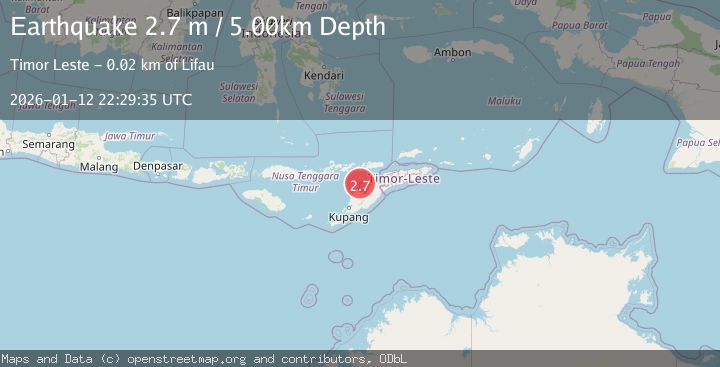
A 2.7 magnitude earthquake struck on TIMOR REGION, at Mon, 12 Jan 2026 22:29:35 GMT. Depth: 5km. Reviewed by BMKG seismologists, this minor quake occurred at a magnitude type of m.
Magnitude
2.7
m
Source
BMKG
Intensity
-
Agency Reports
1 Sources| Source | Magnitude | Depth | Time |
|---|---|---|---|
| BMKGPrimary | 2.7 | 5 km | 1 month ago |
Earthquake Details
AutomaticEvent IDemsc_BMKG_20260112_0000343
Tsunami PotentialNo
Magnitude Typem
Nearest Places
- River Oenis18.3 km
- Point Panamtasa18.3 km
- River Namun18.5 km
- Fuabana18.9 km
- Point Bokon19.0 km
Comments
Join the discussion about this event.
Latest Earthquakes
1.9Mag
British Columbia, Canada
Time1 minute ago
Depth7.93 km
SourceVYT (Automatic)
0.7Mag
84 km S of McCarthy, Alaska
Time3 minutes ago
Depth11.40 km
SourceUSGS (Automatic)
2.9Mag
Salta, Argentina
Time3 minutes ago
Depth255.49 km
SourceVYT (Automatic)
1.3Mag
4 km WSW of Calimesa, CA
Time4 minutes ago
Depth15.00 km
SourceUSGS (Automatic)
2.3Mag
Sumba Region, Indonesia
Time8 minutes ago
Depth7.66 km
SourceBMKG
Nearby Earthquakes
4.0Mag
TIMOR REGION
Time7 years ago
Depth100.00 km
SourceDJA (Automatic)
3.0Mag
TIMOR REGION
Time2 years ago
Depth10.00 km
SourceBMKG (Automatic)
5.0Mag
TIMOR REGION
Time17 years ago
Depth96.00 km
SourceEMSC (Automatic)
4.0Mag
TIMOR REGION
Time5 months ago
Depth52.00 km
SourceBMKG (Automatic)
5.1Mag
TIMOR REGION
Time11 months ago
Depth94.00 km
SourceEMSC (Automatic)