Earthquake 4 km WSW of Calimesa, CA
Thu, 19 Feb 2026 13:57:58 GMT
Time3 hours ago
Location
33.9780, -117.0890
Depth
15.0 KM
Event Summary
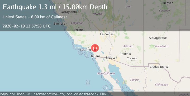
A 1.3 magnitude earthquake struck on 4 km WSW of Calimesa, CA, at Thu, 19 Feb 2026 13:57:58 GMT. Depth: 15km. Reviewed by USGS seismologists, this minor quake occurred at a magnitude type of ml.
Magnitude
1.3
ml
Source
USGS
Intensity
-
Agency Reports
1 Sources| Source | Magnitude | Depth | Time |
|---|---|---|---|
| USGSPrimary | 1.3 | 15 km | 3 hours ago |
Earthquake Details
AutomaticEvent IDusgs_ci41187927
Tsunami PotentialNo
Magnitude Typeml
Nearest Places
- Fisherman Campground1.1 km
- El Casco Lake1.8 km
- El Casco 822 Dam1.9 km
- El Casco2.7 km
- Tract Between San Jacinto and San Gorgonio2.9 km
Comments
Join the discussion about this event.
Latest Earthquakes
1.9Mag
British Columbia, Canada
Time3 hours ago
Depth0.00 km
SourceVYT (Automatic)
0.7Mag
84 km S of McCarthy, Alaska
Time3 hours ago
Depth11.40 km
SourceUSGS (Automatic)
2.9Mag
Salta, Argentina
Time3 hours ago
Depth255.49 km
SourceVYT (Automatic)
2.3Mag
Sumba Region, Indonesia
Time3 hours ago
Depth7.66 km
SourceBMKG
3.6Mag
Southern Alaska
Time3 hours ago
Depth10.74 km
SourceVYT (Automatic)
Nearby Earthquakes
1.7Mag
Greater Los Angeles area, California
Time6 days ago
Depth13.31 km
SourceVYT (Automatic)
1.5Mag
Greater Los Angeles area, California
Time6 days ago
Depth12.57 km
SourceVYT (Automatic)
3.0Mag
GREATER LOS ANGELES AREA, CALIF.
Time6 years ago
Depth9.00 km
SourceNEIC (Automatic)
1.3Mag
4 km SSE of Mentone, CA
Time1 week ago
Depth10.32 km
SourceUSGS (Automatic)
1.1Mag
4 km NE of Calimesa, CA
Time2 days ago
Depth16.42 km
SourceUSGS (Automatic)