Earthquake 84 km S of McCarthy, Alaska
Thu, 19 Feb 2026 13:59:17 GMT
Time3 hours ago
Location
60.6800, -143.0580
Depth
11.4 KM
Event Summary
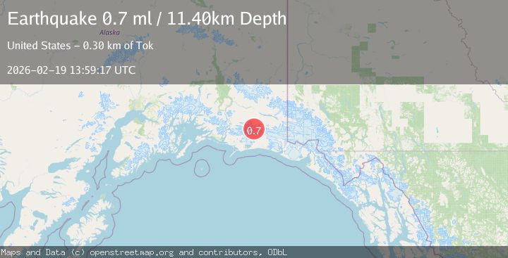
A 0.7 magnitude earthquake struck on 84 km S of McCarthy, Alaska, at Thu, 19 Feb 2026 13:59:17 GMT. Depth: 11.4km. Reviewed by USGS seismologists, this minor quake occurred at a magnitude type of ml.
Magnitude
0.7
ml
Source
USGS
Intensity
-
Agency Reports
1 Sources| Source | Magnitude | Depth | Time |
|---|---|---|---|
| USGSPrimary | 0.7 | 11 km | 3 hours ago |
Earthquake Details
AutomaticEvent IDusgs_aka2026dnakjo
Tsunami PotentialNo
Magnitude Typeml
Nearest Places
- Bremner Glacier16.5 km
- Mount Steller18.1 km
- North Fork Lobe Bremner Glacier18.3 km
- Waxell Ridge19.8 km
- Granite Creek20.1 km
Comments
Join the discussion about this event.
Latest Earthquakes
1.9Mag
British Columbia, Canada
Time3 hours ago
Depth0.00 km
SourceVYT (Automatic)
2.9Mag
Salta, Argentina
Time3 hours ago
Depth255.49 km
SourceVYT (Automatic)
1.3Mag
4 km WSW of Calimesa, CA
Time3 hours ago
Depth15.00 km
SourceUSGS (Automatic)
2.3Mag
Sumba Region, Indonesia
Time3 hours ago
Depth7.66 km
SourceBMKG
3.6Mag
Southern Alaska
Time3 hours ago
Depth10.74 km
SourceVYT (Automatic)
Nearby Earthquakes
2.7Mag
SOUTHERN ALASKA
Time1 month ago
Depth5.00 km
SourceNEIC (Automatic)
1.8Mag
Southern Alaska
Time1 day ago
Depth16.72 km
SourceVYT (Automatic)
3.6Mag
Southern Alaska
Time3 hours ago
Depth10.74 km
SourceVYT (Automatic)
2.1Mag
Southern Alaska
Time2 days ago
Depth18.92 km
SourceVYT (Automatic)
1.3Mag
Southern Alaska
Time2 days ago
Depth17.46 km
SourceVYT (Automatic)