Earthquake Central Alaska
Tue, 17 Feb 2026 22:07:36 GMT
Time14 hours ago
Location
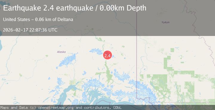
63.3393, -145.0783
Depth
6.8 KM
Event Summary
A 2.4 magnitude earthquake struck on Central Alaska, at Tue, 17 Feb 2026 22:07:36 GMT. Depth: 6.8359375km. Reviewed by VYT seismologists, this minor quake occurred at a magnitude type of earthquake.
Magnitude
2.4
earthquake
Source
VYT
Intensity
-
Agency Reports
1 Sources| Source | Magnitude | Depth | Time |
|---|---|---|---|
| VYTPrimary | 2.4 | 7 km | 14 hours ago |
Earthquake Details
AutomaticEvent IDvyt_1v4etb8u4huuo
Tsunami PotentialNo
Magnitude Typeearthquake
Nearest Places
- Johnson Glacier3.9 km
- Thorkona5.3 km
- Mount Gakona5.3 km
- The Thorn5.9 km
- Spur Glacier12.1 km
Comments
Join the discussion about this event.
Latest Earthquakes
2.5Mag
Java, Indonesia
Time14 hours ago
Depth14.39 km
SourceBMKG
1.5Mag
Alaska Peninsula
Time14 hours ago
Depth31.37 km
SourceVYT (Automatic)
1.4Mag
Kenai Peninsula, Alaska
Time14 hours ago
Depth35.28 km
SourceVYT (Automatic)
1.1Mag
87 km N of Karluk, Alaska
Time14 hours ago
Depth5.00 km
SourceUSGS (Automatic)
2.3Mag
Southern Sumatra, Indonesia
Time14 hours ago
Depth36.72 km
SourceBMKG
Nearby Earthquakes
2.0Mag
34 km NE of Paxson, Alaska
Time3 weeks ago
Depth11.60 km
SourceUSGS (Automatic)
2.1Mag
39 km SSW of Dry Creek, Alaska
Time3 weeks ago
Depth5.00 km
SourceUSGS (Automatic)
2.6Mag
Central Alaska
Time1 week ago
Depth0.00 km
SourceVYT (Automatic)
3.0Mag
CENTRAL ALASKA
Time4 years ago
Depth6.00 km
SourceNEIC (Automatic)
1.3Mag
31 km SSW of Dry Creek, Alaska
Time2 weeks ago
Depth15.40 km
SourceUSGS (Automatic)