Earthquake NORTHERN SUMATRA, INDONESIA
Wed, 14 Jan 2026 09:55:18 GMT
Time1 month ago
Location
4.2500, 97.5100
Depth
3.0 KM
Event Summary
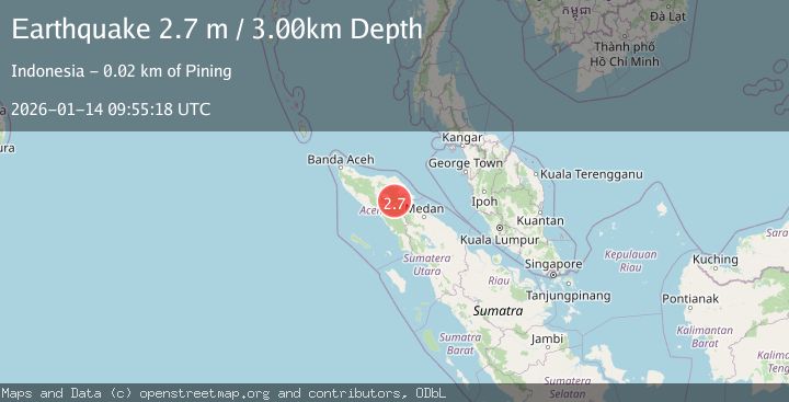
A 2.7 magnitude earthquake struck on NORTHERN SUMATRA, INDONESIA, at Wed, 14 Jan 2026 09:55:18 GMT. Depth: 3km. Reviewed by BMKG seismologists, this minor quake occurred at a magnitude type of m.
Magnitude
2.7
m
Source
BMKG
Intensity
-
Agency Reports
1 Sources| Source | Magnitude | Depth | Time |
|---|---|---|---|
| BMKGPrimary | 2.7 | 3 km | 1 month ago |
Earthquake Details
AutomaticEvent IDemsc_BMKG_20260114_0000116
Tsunami PotentialNo
Magnitude Typem
Nearest Places
- 2.4 km
- 3.8 km
- 4.0 km
- 4.7 km
- 6.0 km
Comments
Join the discussion about this event.
Latest Earthquakes
2.0Mag
Tarapaca, Chile
Time1 minute ago
Depth88.01 km
SourceVYT (Automatic)
2.3Mag
42 km WNW of Ninilchik, Alaska
Time6 minutes ago
Depth92.40 km
SourceUSGS (Automatic)
1.9Mag
27 km WNW of Nikiski, Alaska
Time9 minutes ago
Depth82.80 km
SourceUSGS (Automatic)
2.8Mag
Kenai Peninsula, Alaska
Time9 minutes ago
Depth0.00 km
SourceVYT (Automatic)
2.3Mag
northern Sumatra, Indonesia
Time11 minutes ago
Depth0.00 km
SourceVYT (Automatic)
Nearby Earthquakes
3.6Mag
NORTHERN SUMATRA, INDONESIA
Time1 month ago
Depth0.00 km
SourceBMKG (Automatic)
2.2Mag
northern Sumatra, Indonesia
Time6 days ago
Depth0.00 km
SourceVYT (Automatic)
2.8Mag
NORTHERN SUMATRA, INDONESIA
Time1 week ago
Depth5.00 km
SourceBMKG (Automatic)
3.7Mag
NORTHERN SUMATRA, INDONESIA
Time1 month ago
Depth108.00 km
SourceBMKG (Automatic)
4.0Mag
Northern Sumatra, Indonesia
Time1 week ago
Depth10.00 km
SourceBMKG